Bash Bish Falls, Mount Washington

Gallery (2)
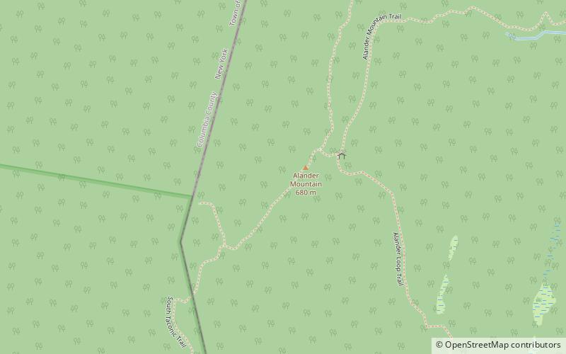
Map
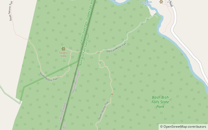
Map
Gallery
Facts and practical information
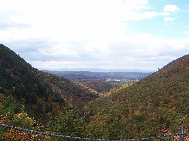
Bash Bish Falls, a waterfall in Bash Bish Falls State Park in the Taconic Mountains of southwestern Massachusetts, is the highest waterfall in the state. The falls are made up of a series of cascades, nearly 200 feet in total. The final cascade is split into twin falls by a jutting rock, dropping in a 59-foot "V" over boulders to a serene pool below. ()
Coordinates: 42°6'40"N, 73°29'49"W
Address
Mount Washington
ContactAdd
Social media
Add
Day trips