South Taconic Trail, Taconic State Park – Rudd Pond Area

Gallery (1)
Map
Map
Facts and practical information
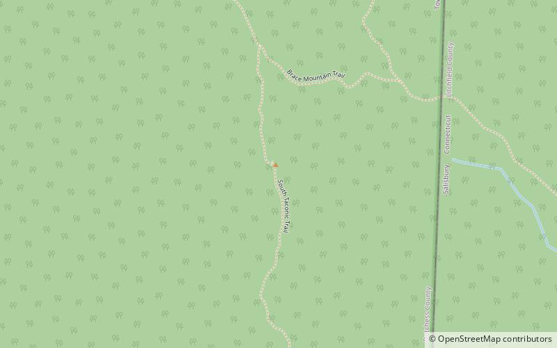
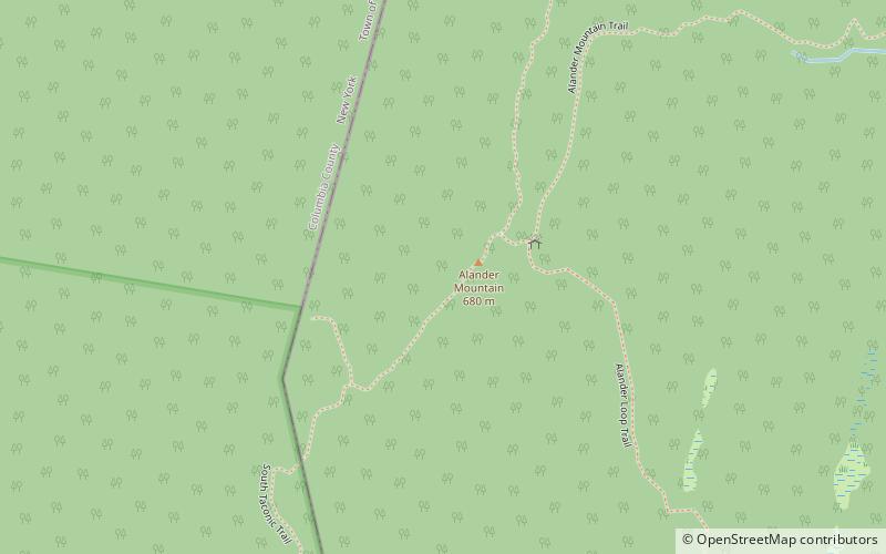
The South Taconic Trail is a 21.3 mi hiking trail in the Taconic Mountains of southwest Massachusetts and adjacent New York. The trail extends from Shagroy Road in Millerton, New York, north along the ridgecrest of the southern Taconic Range and the border of New York and Massachusetts, and ends north of the Catamount Ski Area on Massachusetts Route 23 700 feet east of the New York border in Egremont, Massachusetts. The Appalachian Trail, which traverses an adjacent ridgeline in the same mountain range, parallels the South Taconic Trail 3 mi to the east. The trails are connected to one another via shorter trails. ()
Length: 21.3 miMaximum elevation: 2311 ftMinimal elevation: 732 ftCoordinates: 42°2'39"N, 73°29'33"W
Address
Taconic State Park – Rudd Pond Area
ContactAdd
Social media
Add
Day trips


Frequently Asked Questions (FAQ)
Which popular attractions are close to South Taconic Trail?
Nearby attractions include Brace Mountain, Taconic State Park – Rudd Pond Area (1 min walk), Mount Frissell, Mount Washington State Forest (19 min walk).