Ruggles Park, Fall River
Map

Map

Facts and practical information
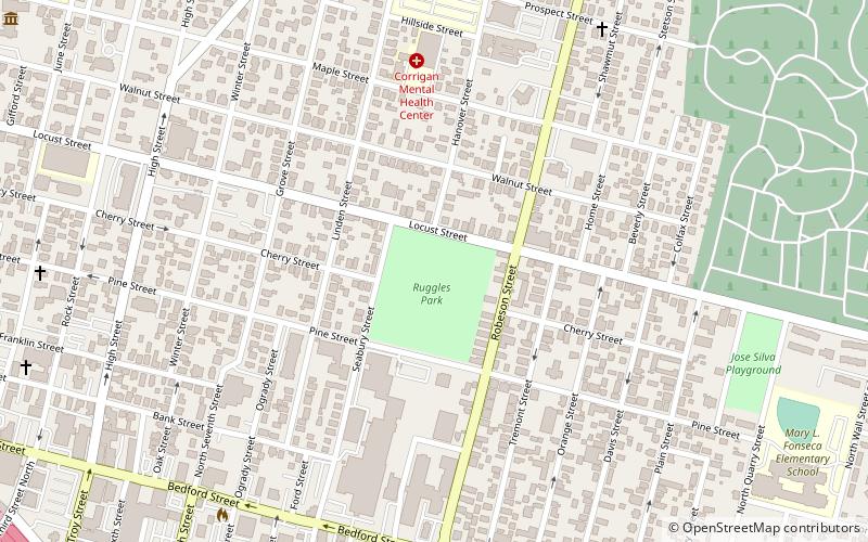
Ruggles Park is a park in Fall River, Massachusetts. It covers about 9 acres within a densely populated working-class neighborhood bounded by Seabury, Robeson, Pine, and Locust Streets, just north of the Granite Mills. ()
Built: 1868 (158 years ago)Elevation: 161 ft a.s.l.Coordinates: 41°42'15"N, 71°8'44"W
Address
Bank StreetFall River
ContactAdd
Social media
Add
Day trips
Ruggles Park – popular in the area (distance from the attraction)
Nearby attractions include: Narrows Center for the Arts, Lizzie Borden House, Fall River Government Center, Academy Building.
Frequently Asked Questions (FAQ)
Which popular attractions are close to Ruggles Park?
Nearby attractions include Lower Highlands Historic District, Fall River (6 min walk), House at 108–112 Quarry Street, Fall River (8 min walk), Academy Building, Fall River (10 min walk), Fall River Historical Society, Fall River (10 min walk).


