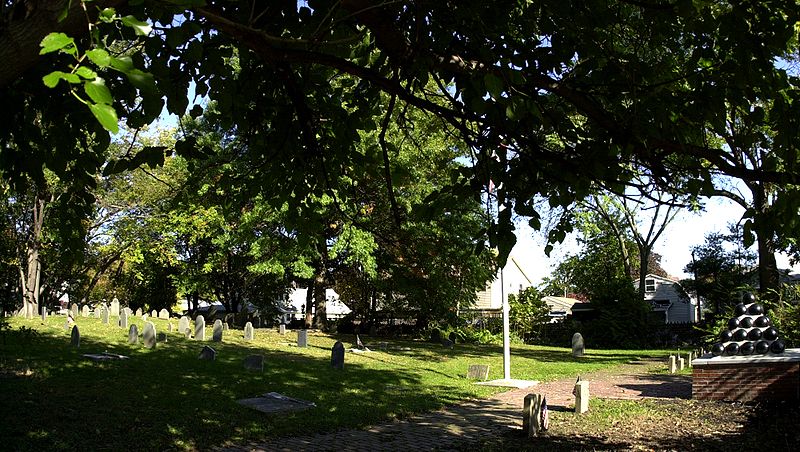
Rumney Marsh Burying Ground, Boston
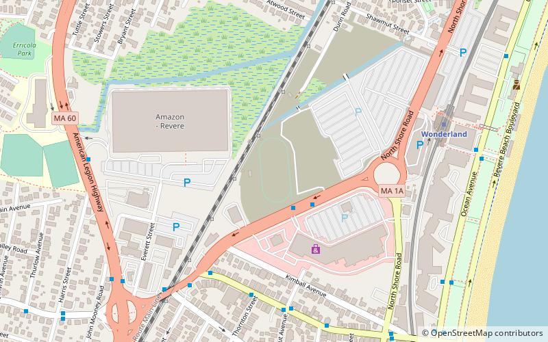
Map

Gallery

Facts and practical information
The Rumney Marsh Burying Ground is a historic cemetery on Butler Street between Elm and Bixby Streets in Revere, Massachusetts. It was added to the National Register of Historic Places in 2004. It was the first burying ground of an area that now encompasses Revere as well as neighboring Chelsea and Winthrop. ()
Coordinates: 42°24'28"N, 71°0'21"W
Day trips
Rumney Marsh Burying Ground – popular in the area (distance from the attraction)
Nearby attractions include: Revere City Hall and Police Station, Christina and John Markey Memorial Pedestrian Bridge, Bellingham-Cary House, Revere.
Frequently Asked Questions (FAQ)
Which popular attractions are close to Rumney Marsh Burying Ground?
Nearby attractions include Immaculate Conception Rectory, Saugus (8 min walk), Revere, Boston (9 min walk), Revere City Hall and Police Station, Saugus (10 min walk), Christina and John Markey Memorial Pedestrian Bridge, Nahant (23 min walk).
How to get to Rumney Marsh Burying Ground by public transport?
The nearest stations to Rumney Marsh Burying Ground:
Metro
Metro
- Wonderland • Lines: Blue (21 min walk)

 MBTA Subway


