Lowell Power Canal System and Pawtucket Gatehouse, Lowell
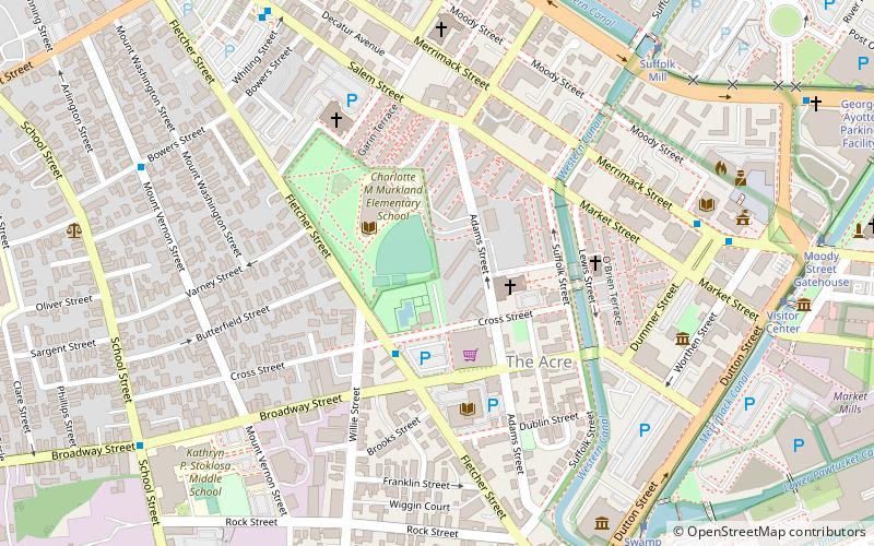
Map

Gallery

Facts and practical information
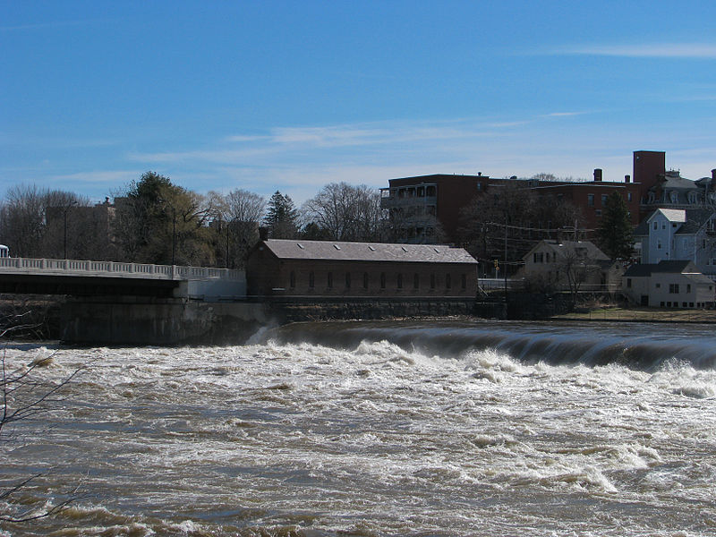
The Lowell Power Canal System is the largest power canal system in the United States, at 5.6 miles in length. It is operating through six major canals on two levels, controlled by numerous gates. The system was begun in the 1790s, beginning its life as a transportation canal called the Pawtucket Canal, which was constructed to get logs from New Hampshire down the Merrimack River to shipbuilding centers at Newburyport, Massachusetts, bypassing the 30-plus-foot drop of the Pawtucket Falls. ()
Built: 1821 (205 years ago)Coordinates: 42°38'44"N, 71°19'12"W
Address
Lowell (The Acre)Lowell
ContactAdd
Social media
Add
Day trips
Lowell Power Canal System and Pawtucket Gatehouse – popular in the area (distance from the attraction)
Nearby attractions include: Edward A. LeLacheur Park, New England Quilt Museum, Boott Mills, Tsongas Center at UMass Lowell.
Frequently Asked Questions (FAQ)
Which popular attractions are close to Lowell Power Canal System and Pawtucket Gatehouse?
Nearby attractions include St. Patrick's Church, Lowell (2 min walk), Holy Trinity Greek Orthodox Church, Lowell (3 min walk), St. George Antiochian Orthodox Church, Lowell (5 min walk), Saint Joseph's Roman Catholic College for Boys, Lowell (6 min walk).
How to get to Lowell Power Canal System and Pawtucket Gatehouse by public transport?
The nearest stations to Lowell Power Canal System and Pawtucket Gatehouse:
Bus
Tram
Train
Bus
- Market Basket/Senior Center • Lines: 6, 9 (3 min walk)
- Pollard Memorial Library • Lines: 9 (7 min walk)
Tram
- Suffolk Mill • Lines: Lowell National Park Trolley (8 min walk)
- Swamp Locks • Lines: Lowell National Park Trolley (9 min walk)
Train
- Lowell (18 min walk)


