Woldenberg Riverfront Park, New Orleans
Map
Gallery
Facts and practical information
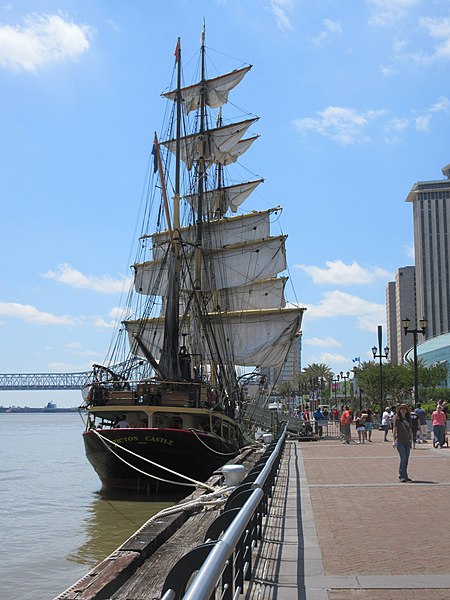
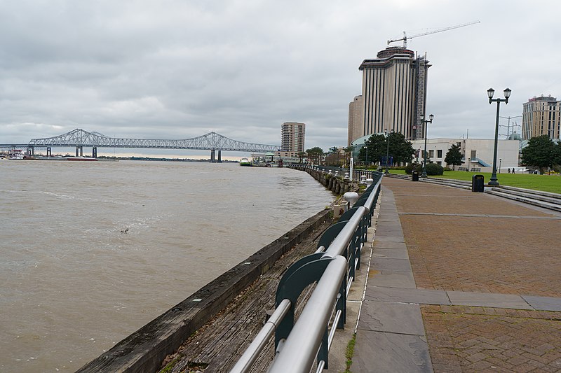
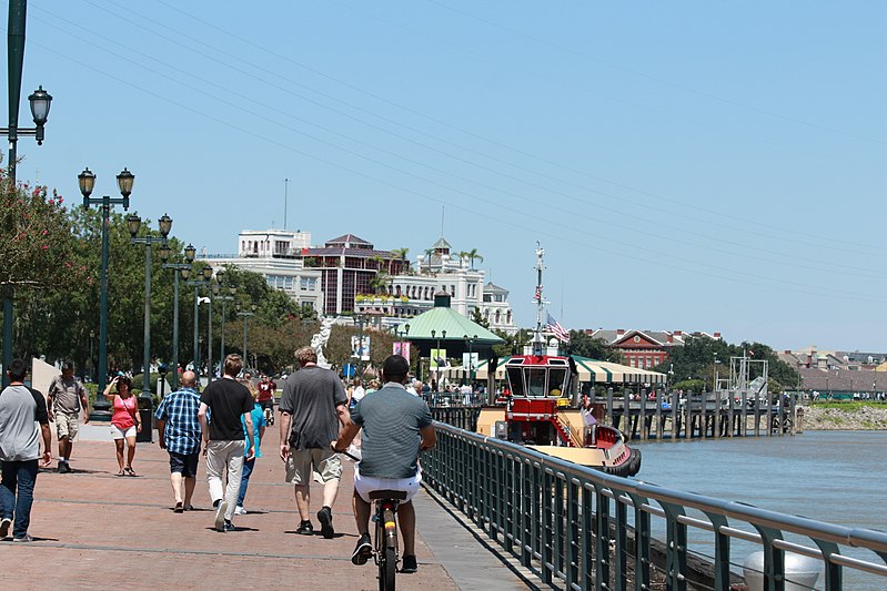
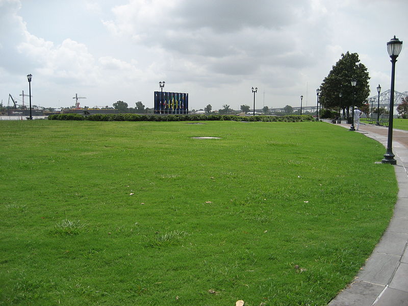
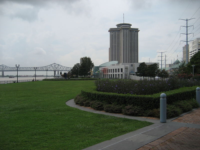
Woldenberg Park is a park in New Orleans, Louisiana. It was created in the late 1980s on land that had been occupied by old wharves and warehouses along the Mississippi Riverfront, in the upper French Quarter, first opening as a park in October 1989. It is named after philanthropist Malcolm Woldenberg who helped fund its construction. ()
Elevation: 10 ft a.s.l.Coordinates: 29°57'12"N, 90°3'45"W
Address
1 Canal StFrench Quarter - CBD (French Quarter)New Orleans 70130-1152
Contact
+1 504-565-3033
Social media
Add
Day trips
Woldenberg Riverfront Park – popular in the area (distance from the attraction)
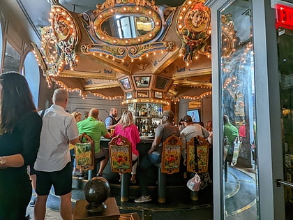
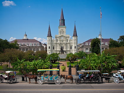
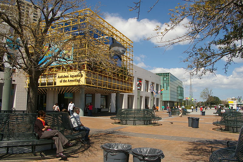
Nearby attractions include: Carousel Bar, St. Louis Cathedral, Aquarium of the Americas, Jackson Square.
Frequently Asked Questions (FAQ)
Which popular attractions are close to Woldenberg Riverfront Park?
Nearby attractions include Aquarium of the Americas, New Orleans (5 min walk), Jean Lafitte National Park and Preserve, New Orleans (5 min walk), New Orleans Lower Central Business District, New Orleans (6 min walk), Audubon Butterfly Garden and Insectarium, New Orleans (6 min walk).
How to get to Woldenberg Riverfront Park by public transport?
The nearest stations to Woldenberg Riverfront Park:
Tram
Train
Bus
Tram
- Bienville Street • Lines: 2 (2 min walk)
- Toulouse Street • Lines: 2 (5 min walk)
Train
- New Orleans (28 min walk)
Bus
- New Orleans Union Passenger Terminal (28 min walk)


