Arizona Mining and Mineral Museum, Phoenix

Map
Facts and practical information
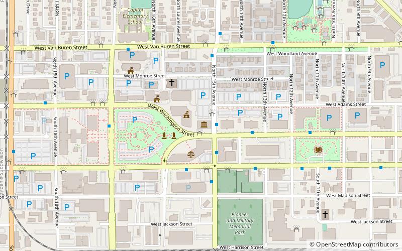
The Arizona Mining and Mineral Museum in Phoenix, Arizona, was a museum focused on minerals and mining. Last operated by the Arizona Historical Society, a state government agency, its exhibits included more than 3,000 minerals, rocks, fossils, and artifacts related to the mining industry. The museum closed in May 2011. In April 2017, legislation was passed to reopen the museum under the ownership of the University of Arizona. ()
Coordinates: 33°26'55"N, 112°5'31"W
Address
1502 West Washington StreetCentral City (Governmental Mall)Phoenix
ContactAdd
Social media
Add
Day trips
Arizona Mining and Mineral Museum – popular in the area (distance from the attraction)
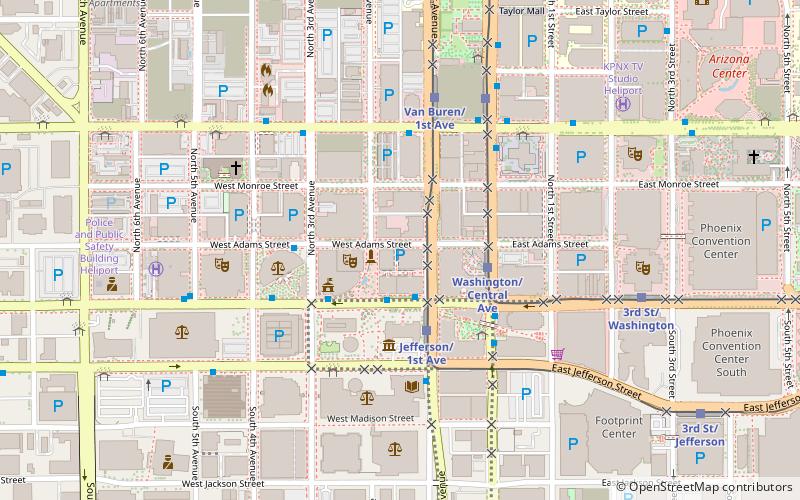
Nearby attractions include: Footprint Center, Arizona Federal Theatre, Wesley Bolin Memorial Plaza, Arizona State Capitol.
Frequently Asked Questions (FAQ)
Which popular attractions are close to Arizona Mining and Mineral Museum?
Nearby attractions include Polly Rosenbaum Building, Phoenix (1 min walk), 9/11 Memorial, Phoenix (3 min walk), Wesley Bolin Memorial Plaza, Phoenix (4 min walk), Arizona State Capitol, Phoenix (5 min walk).
How to get to Arizona Mining and Mineral Museum by public transport?
The nearest stations to Arizona Mining and Mineral Museum:
Bus
Bus
- 16871 • Lines: 571 Ib, Gal Wb, I-17 Ob (1 min walk)
- 16856 • Lines: 520 Ob (3 min walk)


