Rittenhouse Square, Philadelphia
Map
Gallery
Facts and practical information
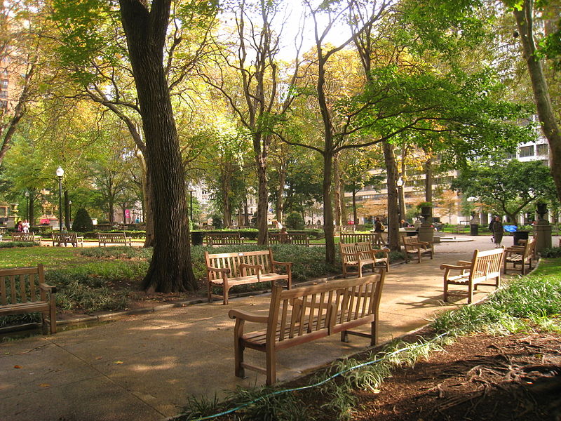
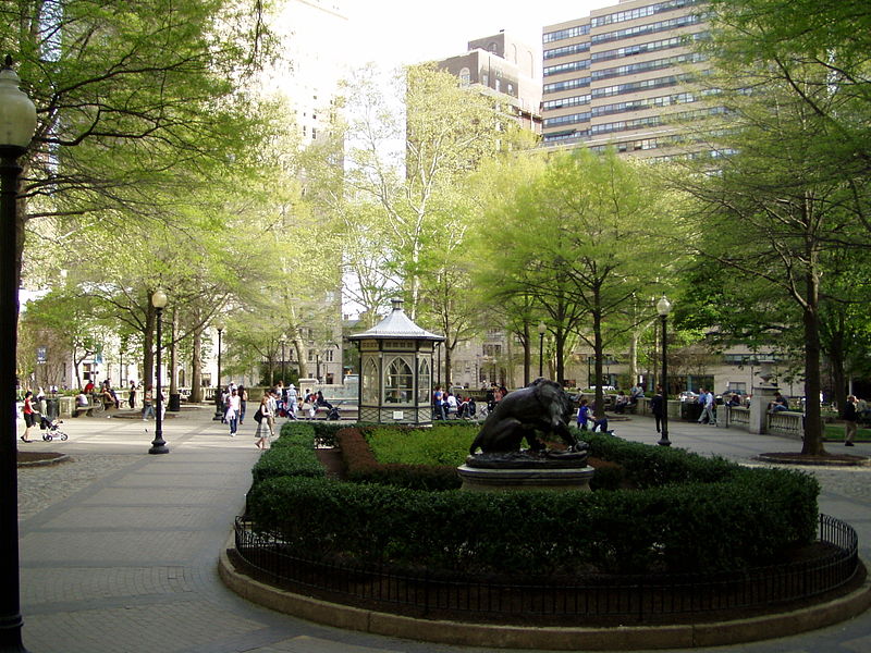
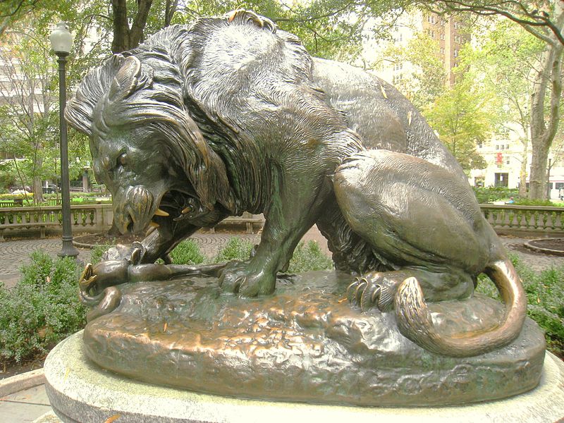
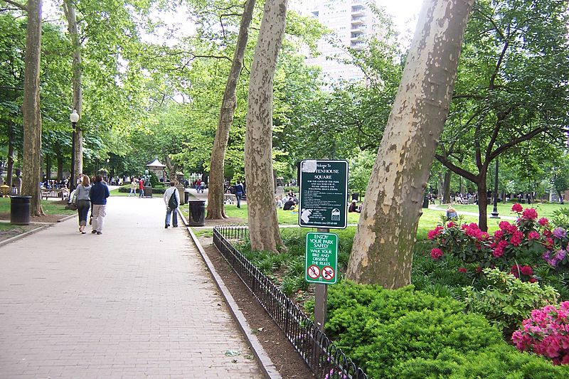
Rittenhouse Square is the name of both a public park and the surrounding neighborhood that is also referred to as Rittenhouse in Center City, Philadelphia, Pennsylvania, United States. The park is one of the five original open-space parks planned by William Penn and his surveyor Thomas Holme during the late 17th century. ()
Day trips
Rittenhouse Square – popular in the area (distance from the attraction)
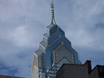
Nearby attractions include: Mütter Museum, Liberty Place, Kimmel Center for the Performing Arts, Academy of Music.
Frequently Asked Questions (FAQ)
Which popular attractions are close to Rittenhouse Square?
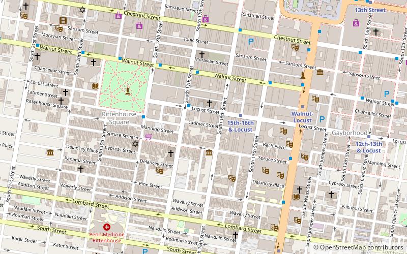
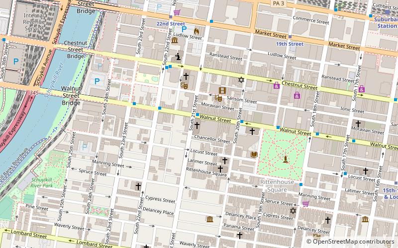
Nearby attractions include Church of the Holy Trinity, Philadelphia (1 min walk), Warburton House, Philadelphia (3 min walk), First Presbyterian Church, Philadelphia (4 min walk), Thomas Hockley House, Philadelphia (4 min walk).
How to get to Rittenhouse Square by public transport?
The nearest stations to Rittenhouse Square:
Bus
Tram
Metro
Train
Bus
- Walnut St & 20th St • Lines: 12, 9 (2 min walk)
Tram
- 19th Street • Lines: 10, 11, 13, 34, 36 (6 min walk)
- 22nd Street • Lines: 10, 11, 13, 34, 36 (9 min walk)
Metro
- 15th-16th & Locust • Lines: Patco (9 min walk)
- 15th Street • Lines: Mfl (11 min walk)
Train
- Suburban Station (10 min walk)
- Philadelphia 30th Street Station (16 min walk)



 SEPTA Regional Rail
