The Print Center, Philadelphia
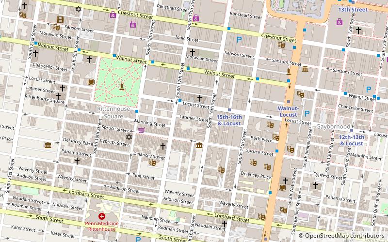
Map
Facts and practical information
The Print Center is a nonprofit gallery located in Rittenhouse Square in Philadelphia. Originally known as The Print Club, the gallery's mission is to "encourage the growth and understanding of photography and printmaking as vital contemporary arts through exhibitions, publications and educational programs". ()
Coordinates: 39°56'53"N, 75°10'7"W
Address
1614 Latimer StreetCenter City (Rittenhouse Square)Philadelphia
ContactAdd
Social media
Add
Getting there by public transportation
Public transportation stops near this location
- Metro
- Bus
- Tram
- Train
 Metro
Metro
- Calculate route15th-16th & Locust 3 min walk
- Calculate routeWalnut-Locust 6 min walk
- Calculate routeLombard-South 9 min walk
- Calculate route15th Street 9 min walk
- Calculate routeRittenhouse Sq & 18th St 4 min walk
- Calculate routeWalnut St & 18th St 5 min walk
- Calculate routeBroad St & Locust St 6 min walk
- Calculate route15th Street 9 min walk
- Calculate route19th Street 11 min walk
- Calculate route13th Street 12 min walk
- Calculate route22nd Street 16 min walk
- Calculate routeSuburban Station 11 min walk
- Calculate routeJefferson Station 17 min walk
- Calculate routePhiladelphia 30th Street Station 23 min walk
- Calculate routePenn Medicine 30 min walk
Maps SEPTA Regional Rail
SEPTA Regional RailDay trips


Frequently Asked Questions (FAQ)
Which popular attractions are close to The Print Center?
Nearby attractions include Saint Mark's Church, Philadelphia (2 min walk), Tenth Presbyterian Church, Philadelphia (3 min walk), Drake Hotel, Philadelphia (3 min walk), Curtis Institute of Music, Philadelphia (3 min walk).
How to get to The Print Center by public transport?
The nearest stations to The Print Center:
Metro
Bus
Tram
Train
Metro
- 15th-16th & Locust • Lines: Patco (3 min walk)
- Walnut-Locust • Lines: Bsl (6 min walk)
Bus
- Rittenhouse Sq & 18th St • Lines: 12 (4 min walk)
- Walnut St & 18th St • Lines: 12, 9 (5 min walk)
Tram
- 15th Street • Lines: 10, 11, 13, 34, 36 (9 min walk)
- 19th Street • Lines: 10, 11, 13, 34, 36 (11 min walk)
Train
- Suburban Station (11 min walk)
- Jefferson Station (17 min walk)