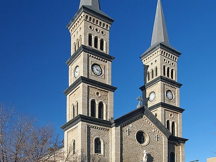
Central Presbyterian Church, Saint Paul
Map
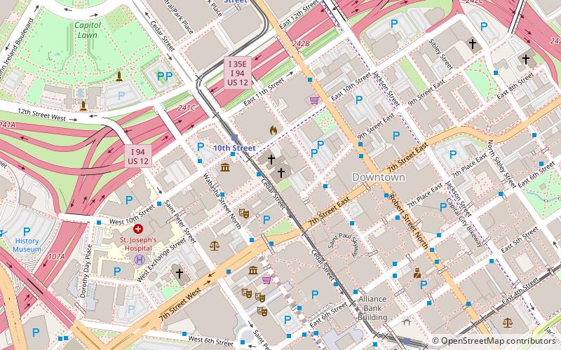
Map

Facts and practical information
Central Presbyterian Church is a church in downtown Saint Paul, Minnesota, United States. The congregation was founded in 1852 and built its first building in 1854, which was later enlarged during the 1870s. The rapidly growing congregation outgrew the building, so they built a new church building in 1889. The building, an example of Richardsonian Romanesque architecture, is listed on the National Register of Historic Places. ()
Built: 1889 (137 years ago)Coordinates: 44°56'59"N, 93°5'46"W
Day trips
Central Presbyterian Church – popular in the area (distance from the attraction)
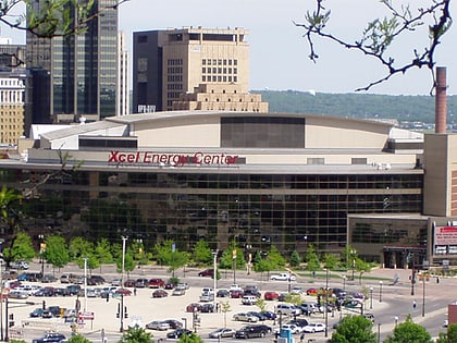
Nearby attractions include: Xcel Energy Center, Cray Plaza, Science Museum of Minnesota, CHS Field.
Frequently Asked Questions (FAQ)
Which popular attractions are close to Central Presbyterian Church?
Nearby attractions include Church Of St. Louis, Saint Paul (1 min walk), The Pointe of St. Paul, Saint Paul (1 min walk), Fitzgerald Theater, Saint Paul (2 min walk), Minnesota Children's Museum, Saint Paul (4 min walk).
How to get to Central Presbyterian Church by public transport?
The nearest stations to Central Presbyterian Church:
Bus
Light rail
Train
Bus
- Exchange St • Lines: 3A, 3B (2 min walk)
- 10 St • Lines: 3A, 3B, 67 (3 min walk)
Light rail
- 10th Street • Lines: 902 (3 min walk)
- Robert Street • Lines: 902 (8 min walk)
Train
- Saint Paul Union Depot (16 min walk)

