Tom Miller Dam, Austin
Map

Map

Facts and practical information
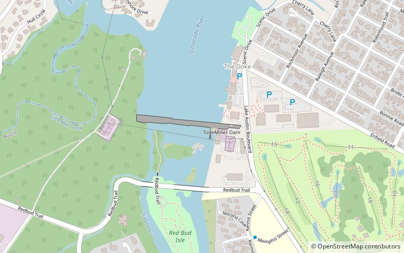
Tom Miller Dam is a dam located on the Colorado River within the city limits of Austin, Texas, United States. The City of Austin, aided by funds from the Public Works Administration, constructed the dam for the purpose of flood control and for generating hydroelectric power. Named after Robert Thomas Miller, a former Mayor of Austin, the dam forms Lake Austin, one of the Texas Highland Lakes. ()
Opened: 1940 (86 years ago)Length: 1590 ftHeight: 100 ftReservoir area: 2.5 mi²Coordinates: 30°17'38"N, 97°47'8"W
Address
Central Austin (Westfield)Austin
ContactAdd
Social media
Add
Day trips
Tom Miller Dam – popular in the area (distance from the attraction)
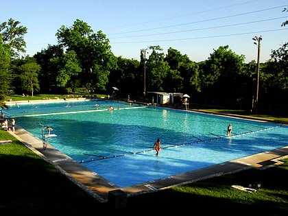
Nearby attractions include: Lions Municipal Golf Course, Deep Eddy Pool, Red Bud Isle Park, West Lake Beach.
Frequently Asked Questions (FAQ)
Which popular attractions are close to Tom Miller Dam?
Nearby attractions include Lake Austin, Austin (2 min walk), Red Bud Isle Park, Austin (7 min walk), West Lake Beach, Austin (23 min walk).
How to get to Tom Miller Dam by public transport?
The nearest stations to Tom Miller Dam:
Bus
Bus
- Memphis/Kermit • Lines: 663 (8 min walk)
- Kermit/Lufkin • Lines: 663 (10 min walk)


