Lake Austin, Austin
Map

Gallery

Facts and practical information
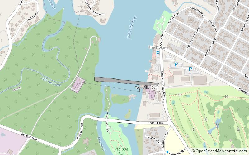
Lake Austin, formerly Lake McDonald, is a water reservoir on the Colorado River in Austin, Texas. The reservoir was formed in 1939 by the construction of Tom Miller Dam by the Lower Colorado River Authority. Lake Austin is one of the seven Highland Lakes created by the LCRA, and is used for flood control, electrical power generation, and recreation. ()
Alternative names: Built: 1939 (87 years ago)Area: 2.51 mi²Maximum depth: 75 ftCoordinates: 30°17'39"N, 97°47'11"W
Address
Central Austin (Westfield)Austin
ContactAdd
Social media
Add
Day trips
Lake Austin – popular in the area (distance from the attraction)
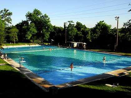
Nearby attractions include: Lions Municipal Golf Course, Deep Eddy Pool, The Contemporary Austin, Laguna Gloria.
Frequently Asked Questions (FAQ)
Which popular attractions are close to Lake Austin?
Nearby attractions include Tom Miller Dam, Austin (2 min walk), Red Bud Isle Park, Austin (8 min walk), West Lake Beach, Austin (23 min walk).
How to get to Lake Austin by public transport?
The nearest stations to Lake Austin:
Bus
Bus
- Memphis/Kermit • Lines: 663 (10 min walk)
- Kermit/Lufkin • Lines: 663 (11 min walk)


