Oakland City Hall, Oakland
Map
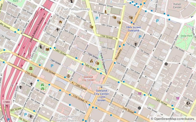
Map

Facts and practical information
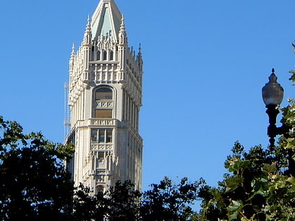
Oakland City Hall is the seat of government for the city of Oakland, California. The current building was completed in 1914, and replaced a prior building that stood on what is now Frank H. Ogawa Plaza. Standing at the height of 320 feet, it was the first high-rise government building in the United States. At the time it was built, it was also the tallest building west of the Mississippi River. The City Hall is depicted on the city seal of Oakland. ()
Address
Central Oakland (Downtown Oakland)Oakland
ContactAdd
Social media
Add
Day trips
Oakland City Hall – popular in the area (distance from the attraction)
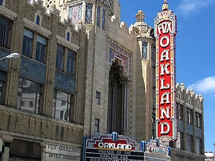
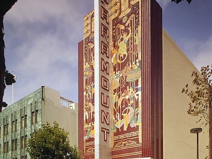
Nearby attractions include: Fox Theater, Paramount Theatre, Uptown Oakland, African American Museum and Library at Oakland.
Frequently Asked Questions (FAQ)
Which popular attractions are close to Oakland City Hall?
Nearby attractions include Frank H. Ogawa Plaza, Oakland (1 min walk), Pro Arts Gallery, Oakland (2 min walk), Oakland East Bay Symphony, Oakland (2 min walk), The Flight Deck, Oakland (3 min walk).
How to get to Oakland City Hall by public transport?
The nearest stations to Oakland City Hall:
Bus
Metro
Train
Ferry
Bus
- 14th Street & Broadway • Lines: 14, 800 (2 min walk)
- Broadway & 14th Street • Lines: 18, 33, 6, 72, 72M, 72R, 800, 802, 805, 840 (3 min walk)
Metro
- Oakland City Center - 12th Street • Lines: Orange, Red, Yellow (4 min walk)
- 19th Street Oakland • Lines: Orange, Red, Yellow (7 min walk)
Train
- Oakland-Jack London Square (21 min walk)
Ferry
- Oakland Jack London Square Terminal • Lines: San Francisco Bay Ferry (23 min walk)

