Uptown Oakland, Oakland
Map
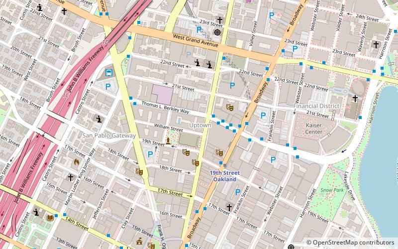
Map

Facts and practical information
Uptown Oakland is a neighborhood in Oakland, California, located in the northern end of Downtown. It is located roughly between West Grand Avenue to the north, Interstate 980 to the west, City Center and 14th Street to the south, and Broadway to the east. The neighborhood has become an important entertainment district in recent years. ()
Coordinates: 37°48'33"N, 122°16'12"W
Address
630 Thomas L. Berkley WayCentral Oakland (Downtown Oakland)Oakland
ContactAdd
Social media
Add
Day trips
Uptown Oakland – popular in the area (distance from the attraction)
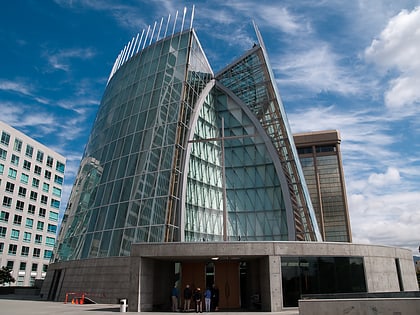
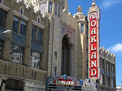
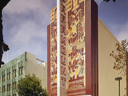
Nearby attractions include: Cathedral of Christ the Light, Fox Theater, Paramount Theatre, African American Museum and Library at Oakland.
Frequently Asked Questions (FAQ)
Which popular attractions are close to Uptown Oakland?
Nearby attractions include Sanchez Contemporary, Oakland (1 min walk), Paramount Theatre, Oakland (2 min walk), Fox Theater, Oakland (3 min walk), California Digital Library, Oakland (4 min walk).
How to get to Uptown Oakland by public transport?
The nearest stations to Uptown Oakland:
Bus
Metro
Train
Ferry
Bus
- Thomas L. Berkley Way & Telegraph Avenue • Lines: 18, 6, 712, 72, 72M, 72R, 800, 802 (2 min walk)
- Uptown Transit Center (2 min walk)
Metro
- 19th Street Oakland • Lines: Orange, Red, Yellow (3 min walk)
- Oakland City Center - 12th Street • Lines: Orange, Red, Yellow (11 min walk)
Train
- Oakland-Jack London Square (28 min walk)
Ferry
- Oakland Jack London Square Terminal • Lines: San Francisco Bay Ferry (30 min walk)
