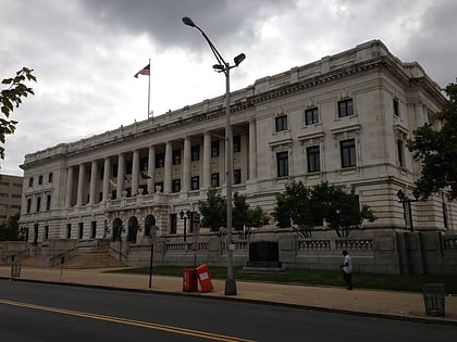
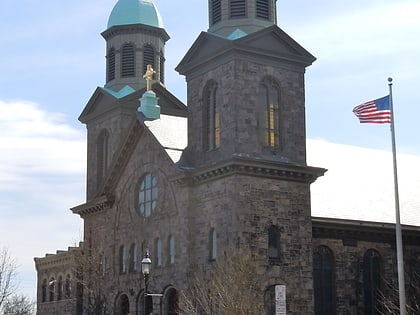
Trenton City Hall, Trenton
Map
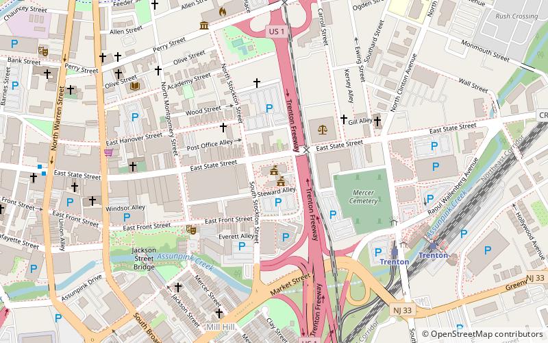
Map

Facts and practical information
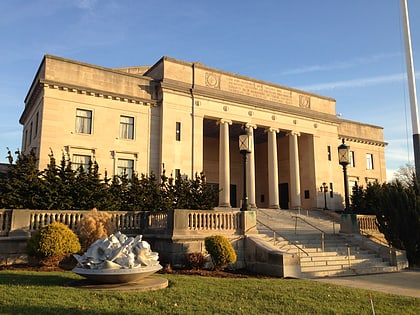
Trenton City Hall is located in Trenton, Mercer County, New Jersey, United States. The white marble building was built in 1907 and added to the National Register of Historic Places on January 30, 1978. The building contains murals by American painter Everett Shinn. ()
Built: 1907 (119 years ago)Coordinates: 40°13'13"N, 74°45'32"W
Day trips
Trenton City Hall – popular in the area (distance from the attraction)
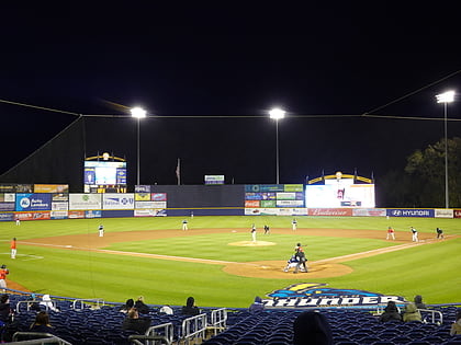
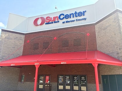
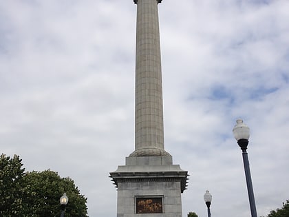
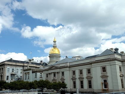
Nearby attractions include: Trenton Thunder Ballpark, Sun National Bank Center, Trenton Battle Monument, New Jersey State House.
Frequently Asked Questions (FAQ)
Which popular attractions are close to Trenton City Hall?
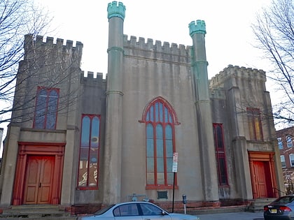
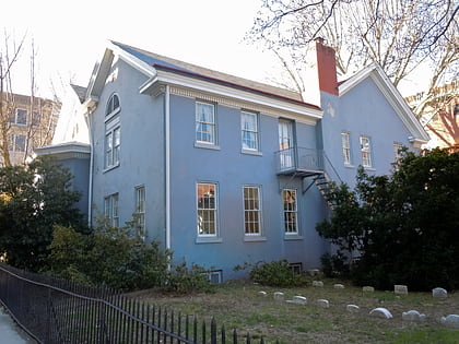
Nearby attractions include Broad Street National Bank, Trenton (5 min walk), Trenton Friends Meeting House, Trenton (6 min walk), New Jersey Women's Hall of Fame, Trenton (6 min walk), First Presbyterian Church, Trenton (6 min walk).
How to get to Trenton City Hall by public transport?
The nearest stations to Trenton City Hall:
Light rail
Train
Light rail
- Trenton • Lines: River Line (7 min walk)
- Hamilton Avenue • Lines: River Line (16 min walk)
Train
- Trenton (8 min walk)
