San Jose Municipal Rose Garden, San Jose
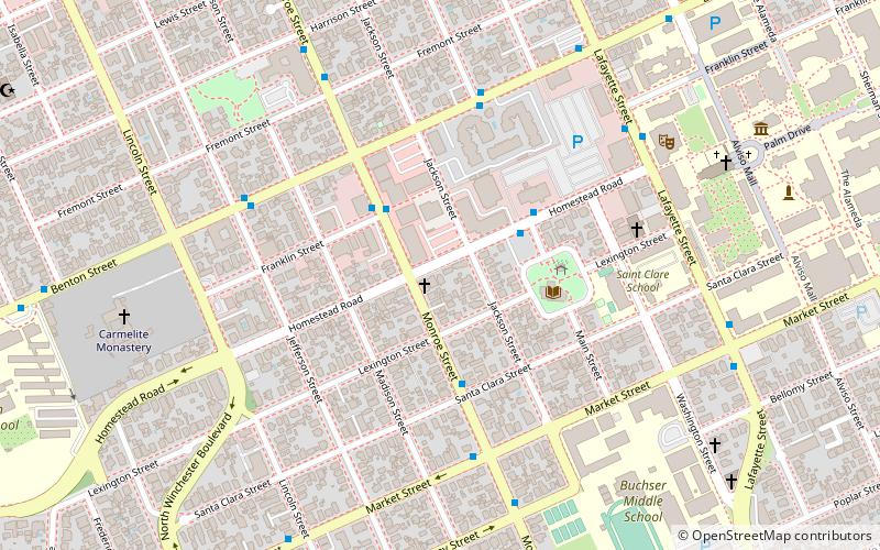
Map
Gallery
Facts and practical information
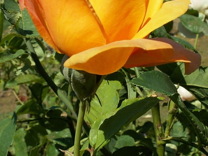
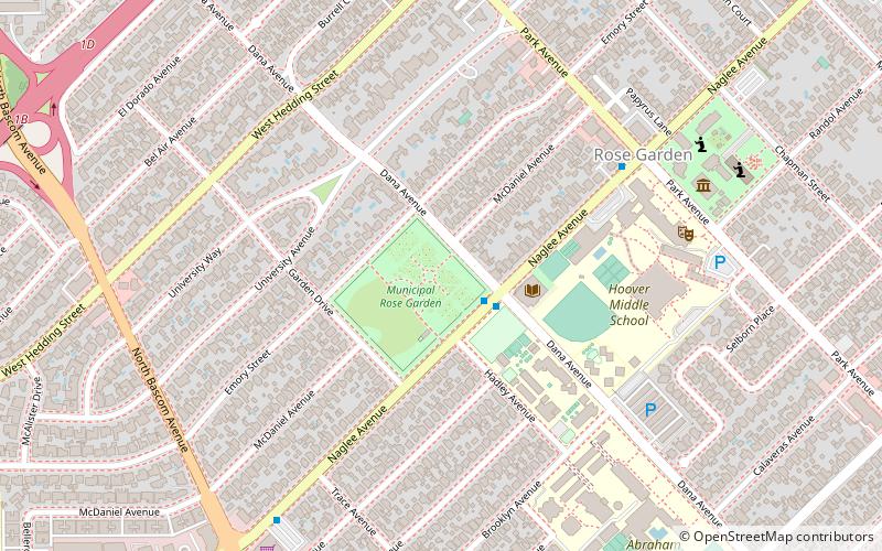
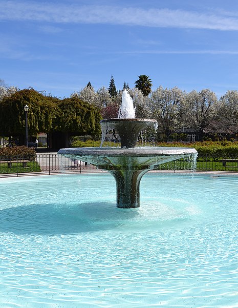
The San Jose Municipal Rose Garden is a historic rose garden in San Jose, California, in the Rose Garden District. Founded in 1927, the garden is exclusively dedicated to roses and features more than 3,500 shrubs representing 189 rose varieties. ()
Day trips
San Jose Municipal Rose Garden – popular in the area (distance from the attraction)
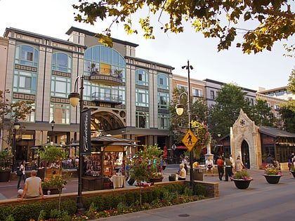
Nearby attractions include: Santana Row, Winchester Mystery House, Rosicrucian Egyptian Museum, Westfield Valley Fair.
Frequently Asked Questions (FAQ)
Which popular attractions are close to San Jose Municipal Rose Garden?
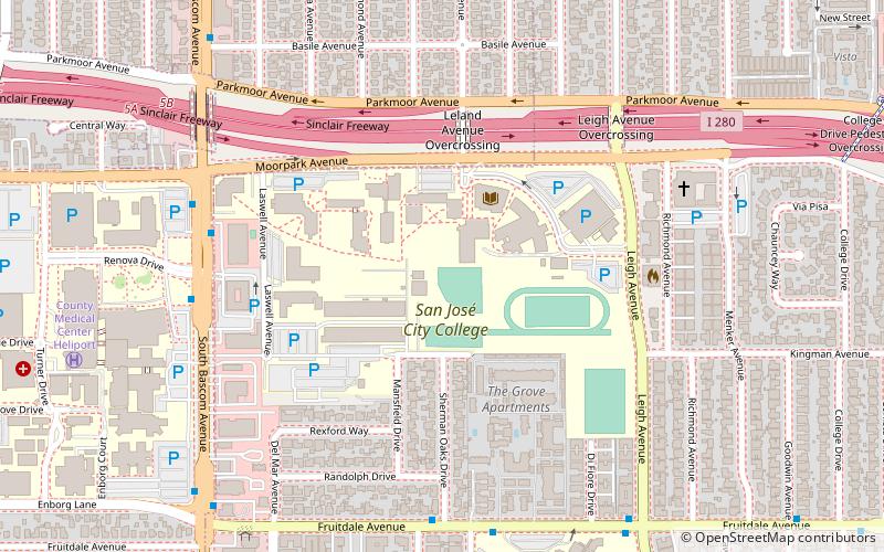
Nearby attractions include Rosicrucian Egyptian Museum, San Jose (8 min walk), Rosicrucian Park, San Jose (8 min walk), Shasta Hanchett Park, San Jose (14 min walk), J. Lohr San Jose Wine Center, San Jose (22 min walk).
How to get to San Jose Municipal Rose Garden by public transport?
The nearest stations to San Jose Municipal Rose Garden:
Bus
Train
Light rail
Bus
- Naglee Avenue & Dana Avenue • Lines: 61 (2 min walk)
- Naglee Avenue & North Bascom Avenue • Lines: 59, 61 (10 min walk)
Train
- College Park (26 min walk)
Light rail
- Race • Lines: Green (36 min walk)
