San Jose City College, San Jose
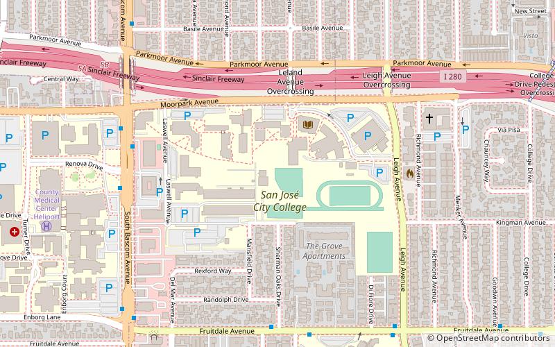
Map
Facts and practical information
San José City College is a public community college in San Jose, California. Founded in 1921, SJCC is located in the West San Jose neighborhood of Fruitdale. ()
Coordinates: 37°18'52"N, 121°55'38"W
Day trips
San Jose City College – popular in the area (distance from the attraction)
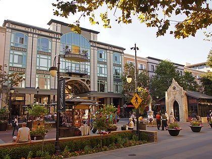
Nearby attractions include: Santana Row, Westfield Valley Fair, San Jose Municipal Rose Garden, Cahill Park Connection.
Frequently Asked Questions (FAQ)
How to get to San Jose City College by public transport?
The nearest stations to San Jose City College:
Bus
Light rail
Bus
- South Bascom Avenue & Renova Drive • Lines: 25, 61 (7 min walk)
- Fruitdale Avenue & Sherman Oaks Drive • Lines: 25 (7 min walk)
Light rail
- Fruitdale • Lines: Green (15 min walk)
- Race • Lines: Green (24 min walk)
