Los Encinos State Historic Park, Los Angeles
Map

Gallery

Facts and practical information
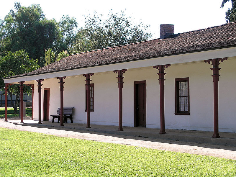
Los Encinos State Historic Park is a state park unit of California, preserving buildings of Rancho Los Encinos. The park is located near the corner of Balboa and Ventura Boulevards in Encino, California, in the San Fernando Valley. The rancho includes the original nine-room de la Ossa Adobe, the two-story limestone Garnier building, a blacksmith shop, a natural spring, and a pond. The 4.7-acre site was established as a California state park in 1949. ()
Established: 1949 (77 years ago)Elevation: 755 ft a.s.l.Coordinates: 34°9'36"N, 118°29'56"W
Address
16756 Moorpark StSouth Valley (Encino)Los Angeles 91436-1068
Contact
+1 818-784-4849
Social media
Add
Day trips
Los Encinos State Historic Park – popular in the area (distance from the attraction)
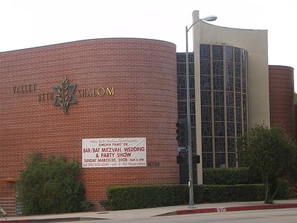
Nearby attractions include: Rancho Los Encinos, Valley Beth Shalom, Encino, Ventura Boulevard.
Frequently Asked Questions (FAQ)
When is Los Encinos State Historic Park open?
Los Encinos State Historic Park is open:
- Monday closed
- Tuesday closed
- Wednesday 10 am - 5 pm
- Thursday 10 am - 5 pm
- Friday 10 am - 5 pm
- Saturday 10 am - 5 pm
- Sunday 10 am - 5 pm

 Metro & Regional Rail


