Rancho Los Encinos
Map

Gallery

Facts and practical information
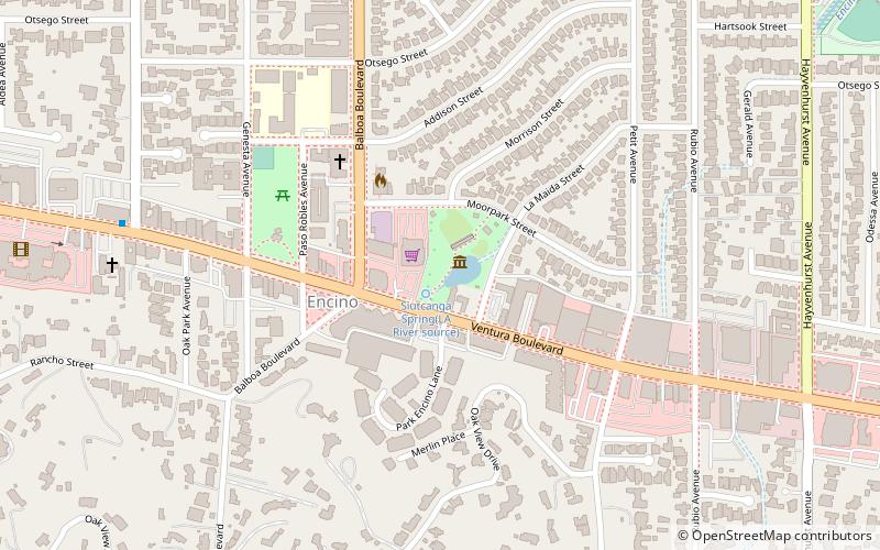
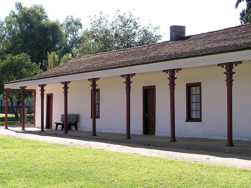
Rancho Los Encinos was a Spanish grazing concession, and later Mexican land granted cattle and sheep rancho and travelers way-station on the El Camino Real in the San Fernando Valley, in present-day Encino, Los Angeles County, California. The original 19th-century adobe and limestone structures and natural warm springs are now within the Los Encinos State Historic Park. ()
Architectural style: Spanish colonial architectureElevation: 761 ft a.s.l.Coordinates: 34°9'34"N, 118°29'58"W
Location
California
ContactAdd
Social media
Add
Day trips
Rancho Los Encinos – popular in the area (distance from the attraction)
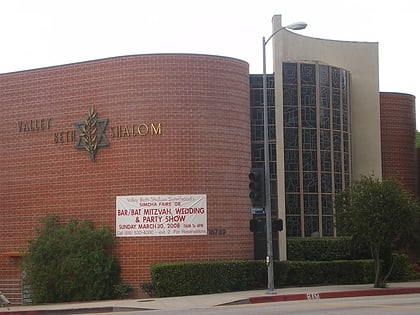
Nearby attractions include: Valley Beth Shalom, Los Encinos State Historic Park, Encino, Ventura Boulevard.


