Burnet Woods, Cincinnati

Facts and practical information
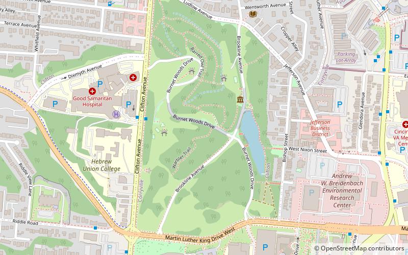
Burnet Woods, a verdant oasis nestled in the bustling urban landscape of Cincinnati, is a cherished green space that provides residents and visitors a serene escape from the city's clamor. Spanning over 90 acres, this municipal park offers a diverse array of recreational activities and natural features that make it a popular destination for those looking to unwind or engage in outdoor pursuits.
Established in the late 19th century, Burnet Woods has been a cornerstone of Cincinnati's park system, featuring a picturesque lake, meandering trails, and a variety of wildlife. The park's tranquil lake is a focal point for leisurely strolls and picnics, while the network of trails invites joggers, hikers, and bird watchers to explore the natural beauty that abounds within the wooded landscape.
The park is also home to the Trailside Nature Center, which educates visitors about local flora and fauna through interactive exhibits and programs. Additionally, the historic bandstand serves as a charming centerpiece for cultural events and concerts, providing a scenic backdrop for community gatherings and performances.
Children are drawn to the park's playgrounds, which offer a safe and engaging environment for play, while the open fields are perfect for sports and other recreational activities. For those seeking a more contemplative experience, the park's gazebos and benches offer peaceful spots to read, meditate, or simply enjoy the surrounding nature.
Burnet Woods is not only a hub for outdoor recreation but also a vital green lung for the city, supporting biodiversity and contributing to the environmental health of the urban area. Its maintenance and preservation are a testament to Cincinnati's commitment to green spaces and urban sustainability.
CUFCincinnati
- Bus
- Train
 Bus
Bus
- Calculate routeDaap/Uc 11 min walk
- Calculate routeMLK & Jefferson 11 min walk
- Calculate routeVeterans Affairs Medical 11 min walk
- Calculate routeVine St & Nixon St 11 min walk
- Calculate routeSafari Train Station 18 min walk


Frequently Asked Questions (FAQ)
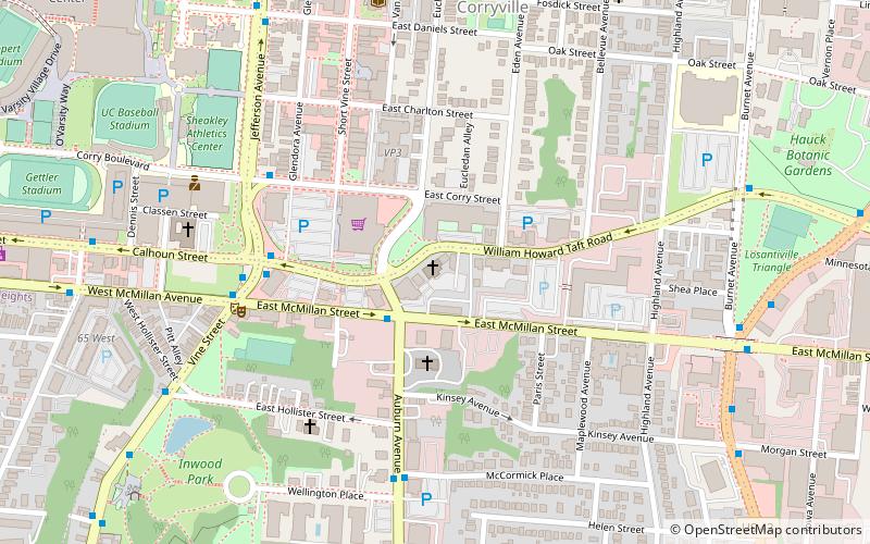
Which popular attractions are close to Burnet Woods?
How to get to Burnet Woods by public transport?
Bus
- Daap/Uc • Lines: 17 (11 min walk)
- MLK & Jefferson • Lines: 78 (11 min walk)
Train
- Safari Train Station (18 min walk)