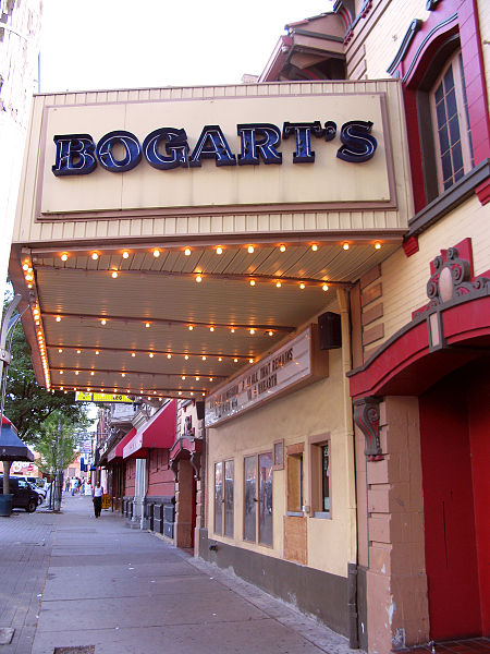
Bogart's, Cincinnati


Facts and practical information
Bogart's, nestled in the vibrant heart of Cincinnati, Ohio, is an iconic music venue that has been pulsating with life and rhythm since its inception. This storied establishment has become a staple of the Cincinnati music scene, offering a platform for both emerging talents and renowned artists to showcase their work to enthusiastic audiences.
The venue, with its intimate atmosphere and excellent acoustics, has a rich history that dates back several decades, making it a beloved landmark for music aficionados. Its character is marked by a unique blend of historical charm and contemporary flair, providing an unforgettable experience for concertgoers.
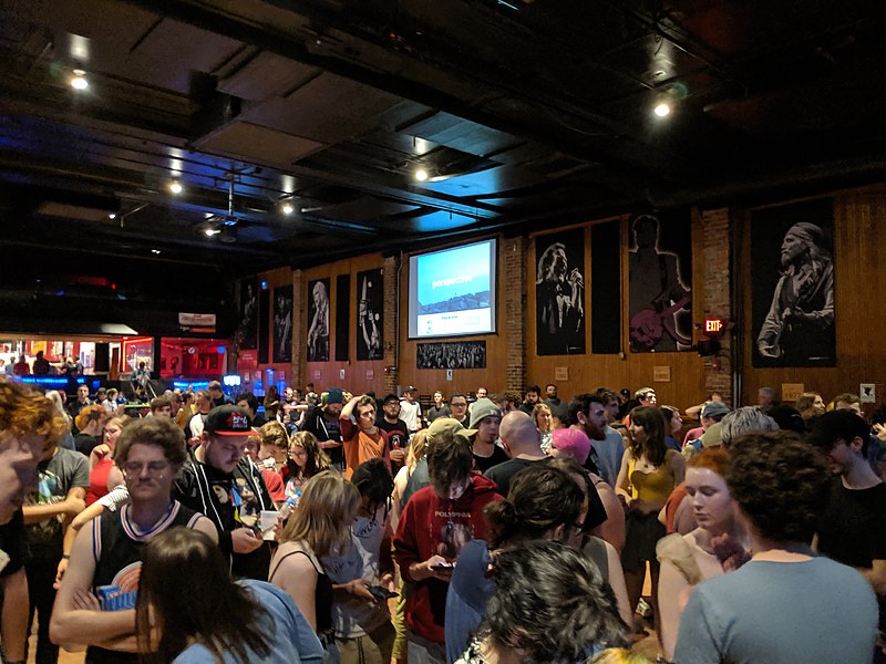
Bogart's boasts a diverse lineup of performances, spanning an array of genres from rock and hip-hop to blues and indie. The venue's calendar is perennially packed with events, ensuring that there is something for every musical taste. The ambiance inside Bogart's is electric, with the energy of live performances fueling the crowd's excitement.
The layout of the venue is designed to offer an immersive experience, with a spacious floor area for standing room and a balcony for those who prefer a bird's-eye view of the stage. The state-of-the-art sound system and lighting rigs enhance the performances, creating a multisensory event that resonates with fans long after the last note has been played.
Bogart's is not just about the music; it is a cultural hub that contributes to the vibrancy of Cincinnati's entertainment landscape. The venue's commitment to providing a platform for artists and delivering top-notch entertainment has cemented its status as a must-visit destination for locals and tourists alike.
- Bus
- Tram
- Train
 Bus
Bus
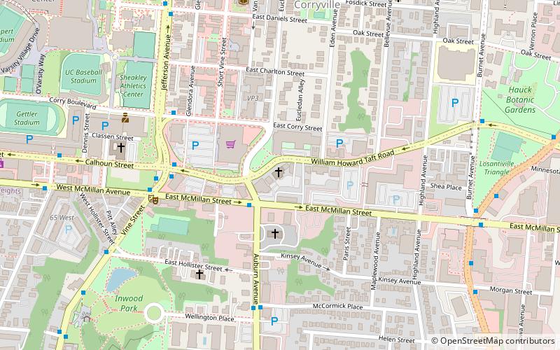
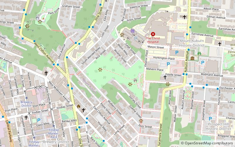
- Calculate routeJefferson & Daniels 4 min walk
- Calculate routeJefferson Ave & University 6 min walk
- Calculate routeUniversity of Cincinnati Interstate Buses 6 min walk
- Calculate routeBrewery District 27 min walk
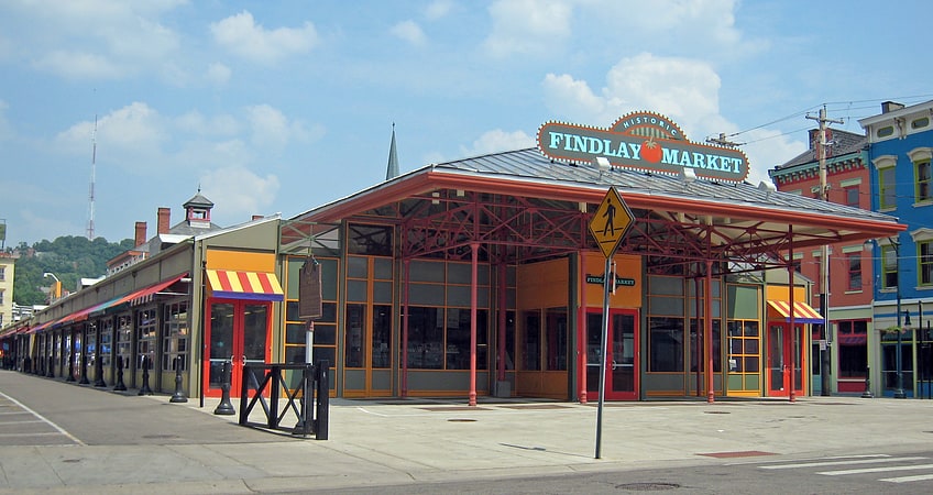
- Calculate routeFindlay Market–Elm 30 min walk
- Calculate routeSafari Train Station 27 min walk


Frequently Asked Questions (FAQ)
Which popular attractions are close to Bogart's?
How to get to Bogart's by public transport?
Bus
- Jefferson & Daniels • Lines: 24, 78 (4 min walk)
- Jefferson Ave & University • Lines: 24, 78, M+ (6 min walk)
Tram
- Brewery District • Lines: 100 (27 min walk)
- Findlay Market–Elm • Lines: 100 (30 min walk)
Train
- Safari Train Station (27 min walk)