Lighthouse Field State Beach, Santa Cruz
Map
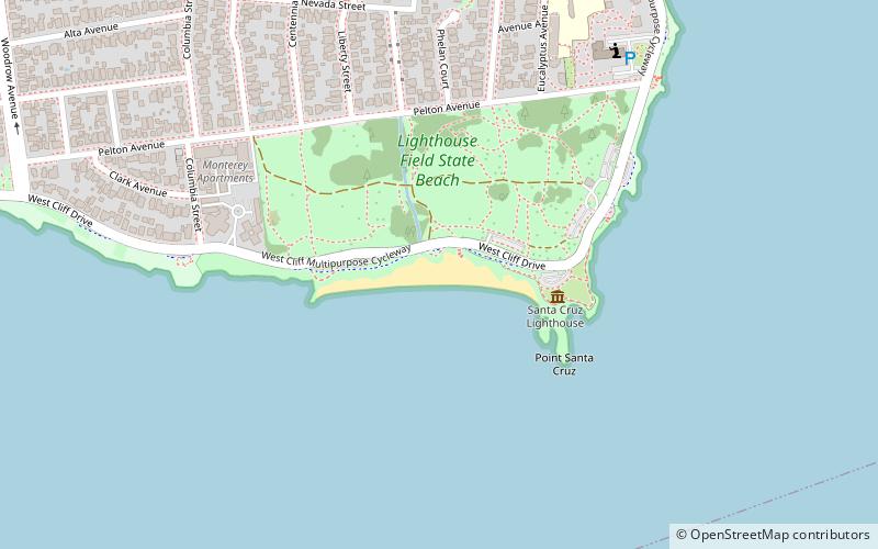
Map

Facts and practical information
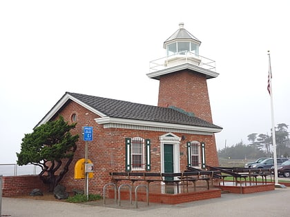
Lighthouse Field State Beach is a protected beach in the state park system of California, United States. It is located in the city of Santa Cruz at the north end of Monterey Bay. The beach overlooks the Steamer Lane surfing hotspot. It also contains the Santa Cruz Surfing Museum, housed in a 1967 lighthouse. The 38-acre site was established in 1978. ()
Established: 1978 (48 years ago)Coordinates: 36°57'6"N, 122°1'44"W
Day trips
Lighthouse Field State Beach – popular in the area (distance from the attraction)
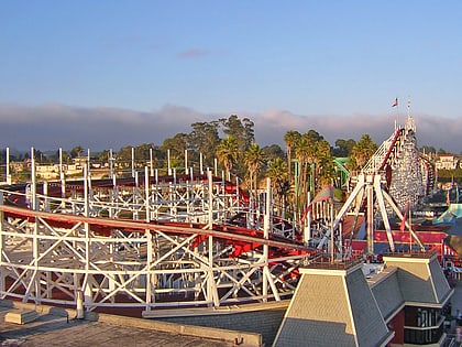
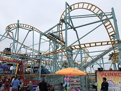
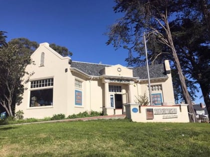
Nearby attractions include: Santa Cruz Beach Boardwalk, Santa Cruz Surfing Museum, Giant Dipper, Undertow Roller Coaster.
Frequently Asked Questions (FAQ)
Which popular attractions are close to Lighthouse Field State Beach?
Nearby attractions include Santa Cruz Surfing Museum, Santa Cruz (3 min walk), Santa Cruz Wharf, Santa Cruz (20 min walk), Monterey Bay National Marine Sanctuary Exploration Center - Unofficial, Santa Cruz (21 min walk).
How to get to Lighthouse Field State Beach by public transport?
The nearest stations to Lighthouse Field State Beach:
Bus
Train
Bus
- Delaware Avenue & Liberty Street • Lines: 20, 20D (12 min walk)
Train
- Santa Cruz Boardwalk (31 min walk)
- Swift Halt (32 min walk)


