Rogers Park, Danbury
Map
Facts and practical information
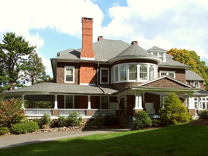
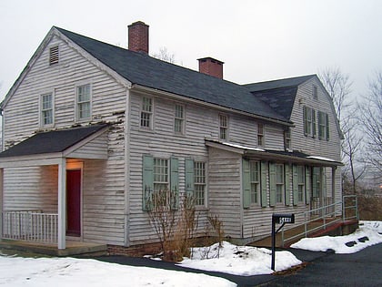
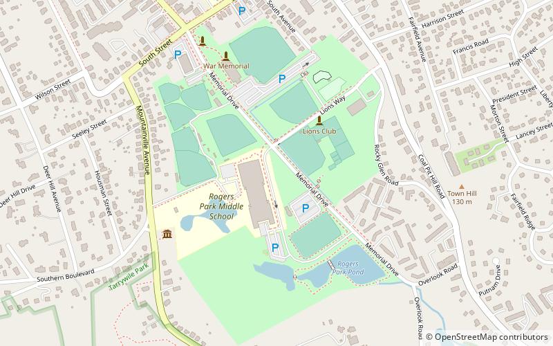
Rogers Park is a 56-acre public park and recreational facility in Danbury, Connecticut, United States, located at the end of Main Street at South Street. It hosts six baseball fields, four softball fields, a multi-purpose turf field, eight tennis courts, seven volleyball courts, four handball-paddleball courts, a spray park, a playground, an outdoor ice rink, a concession stand, a pond with a hiking/nature trail, the War Memorial building, several veterans monuments and the Charles Ives House. ()
Elevation: 364 ft a.s.l.Coordinates: 41°22'59"N, 73°26'29"W
Day trips
Rogers Park – popular in the area (distance from the attraction)
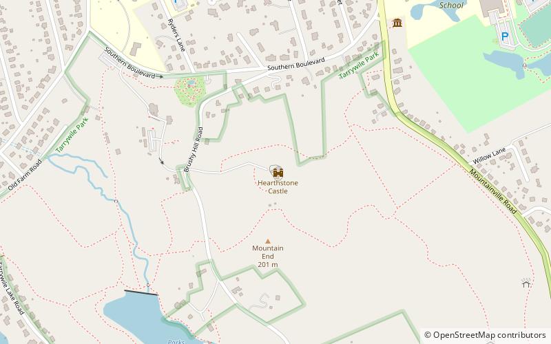
Nearby attractions include: Danbury Ice Arena, Danbury Museum & Historical Society, Hearthstone Castle, Church of St. Peter.
Frequently Asked Questions (FAQ)
Which popular attractions are close to Rogers Park?
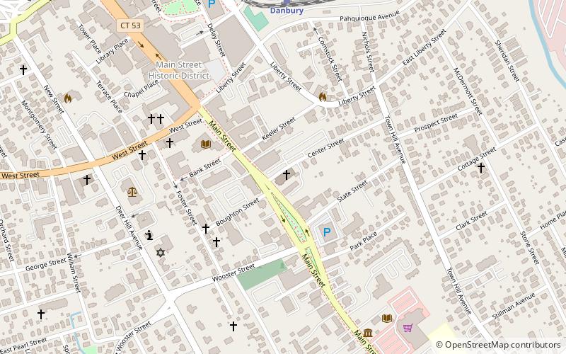
Nearby attractions include Scott Fanton Museum, Danbury (6 min walk), Charles Ives House, Danbury (6 min walk), John Rider House, Danbury (12 min walk), Danbury Museum & Historical Society, Danbury (12 min walk).
How to get to Rogers Park by public transport?
The nearest stations to Rogers Park:
Train
Train
- Danbury (26 min walk)


