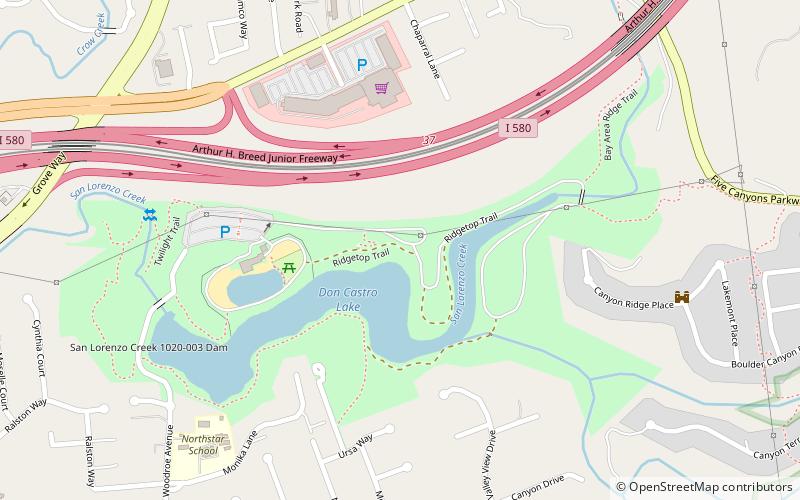
Don Castro Regional Recreation Area, Hayward
Map
Facts and practical information
Don Castro Regional Recreation Area is a regional park located in Hayward, California. It is part of the East Bay Regional Parks system. ()
Elevation: 262 ft a.s.l.Coordinates: 37°41'31"N, 122°3'0"W
Address
FairviewHayward
ContactAdd
Social media
Add
Getting there by public transportation
Public transportation stops near this location
- Bus
 Bus
Bus
- Calculate routeKelly Street & Mossy Rock Drive 11 min walk
- Calculate routeEddy Street & Kelly Street 11 min walk
Day trips
Don Castro Regional Recreation Area – popular in the area (distance from the attraction)
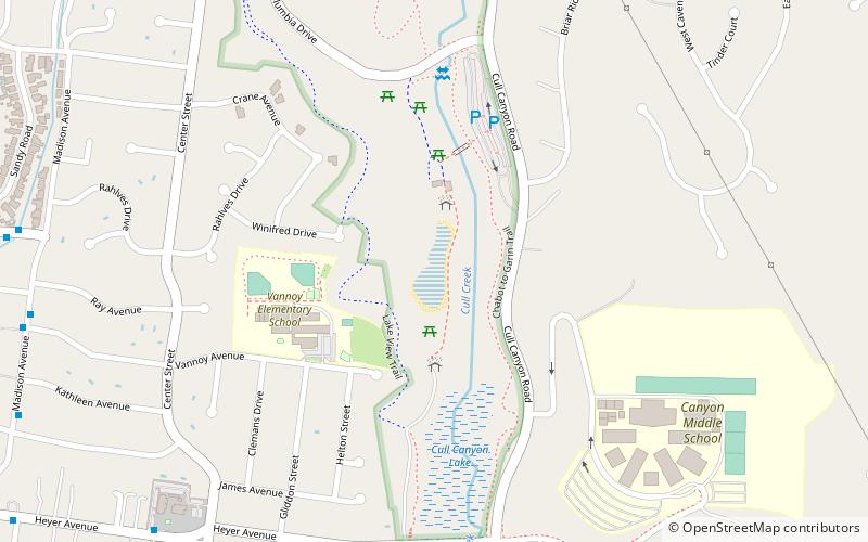
Nearby attractions include: Cull Canyon Regional Recreation Area, Hayward Area Recreation and Park District, Japanese Gardens, Hayward City Hall.


Frequently Asked Questions (FAQ)
How to get to Don Castro Regional Recreation Area by public transport?
The nearest stations to Don Castro Regional Recreation Area:
Bus
Bus
- Kelly Street & Mossy Rock Drive • Lines: 95 (11 min walk)
- Eddy Street & Kelly Street • Lines: 95 (11 min walk)