Kinnear Park, Seattle
Map

Gallery
Facts and practical information
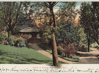
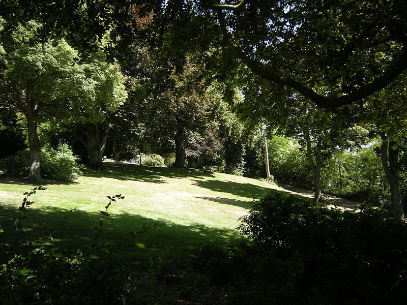
Kinnear Park is a 14.1-acre park on the southwest slope of Queen Anne Hill in Seattle, Washington, United States located between W. Olympic Place on the northeast, W. Mercer Place and Elliott Avenue W. on the southwest, the 9th Avenue W. right of way on the west, and the 6th Avenue W. right of way on the east. It is two-tiered, with a lawn and open space atop the cliff, and a wooded area below. ()
Elevation: 174 ft a.s.l.Coordinates: 47°37'38"N, 122°22'1"W
Day trips
Kinnear Park – popular in the area (distance from the attraction)
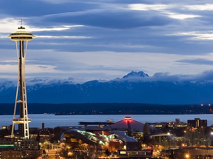
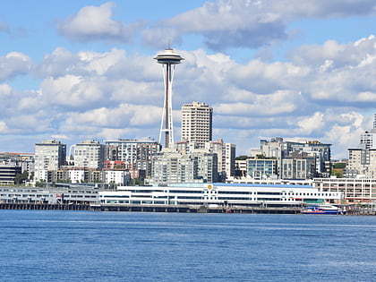
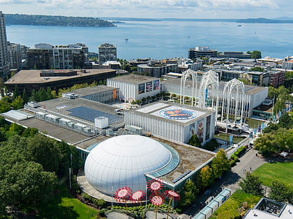
Nearby attractions include: Seattle Center, Space Needle, Museum of Pop Culture, Pacific Science Center.
Frequently Asked Questions (FAQ)
Which popular attractions are close to Kinnear Park?
Nearby attractions include Marshall Park, Seattle (4 min walk), Parsons Gardens, Seattle (5 min walk), Mercer Street, Seattle (7 min walk), Kerry Park, Seattle (10 min walk).
How to get to Kinnear Park by public transport?
The nearest stations to Kinnear Park:
Bus
Train
Ferry
Bus
- Elliott Ave W & W Mercer Pl • Lines: 19, 24, 33 (2 min walk)
- Elliott Ave W & W Prospect St • Lines: 19, 24, 32, 33, D (7 min walk)
Train
- Seattle Center (24 min walk)
Ferry
- Seattle • Lines: Seattle-Victoria (30 min walk)
