Queen Anne, Seattle
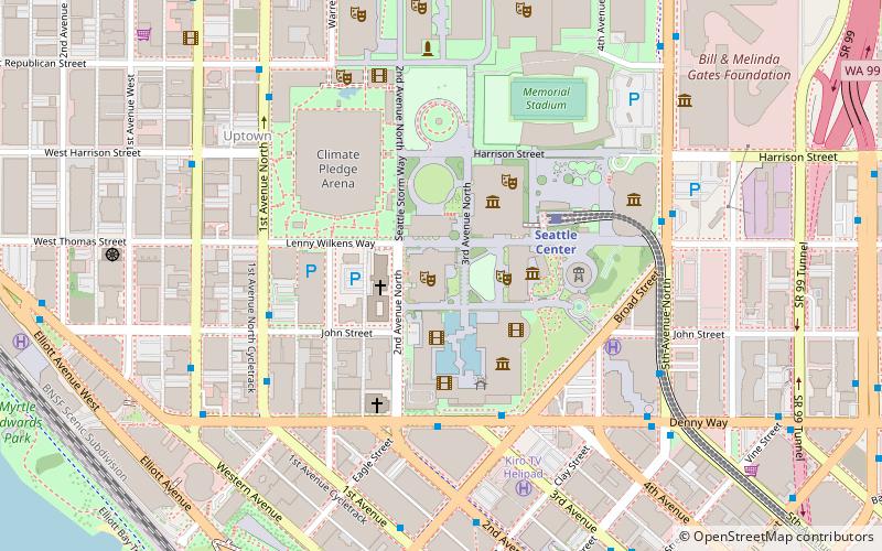
Map
Gallery
Facts and practical information
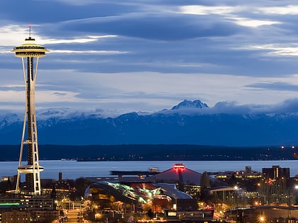
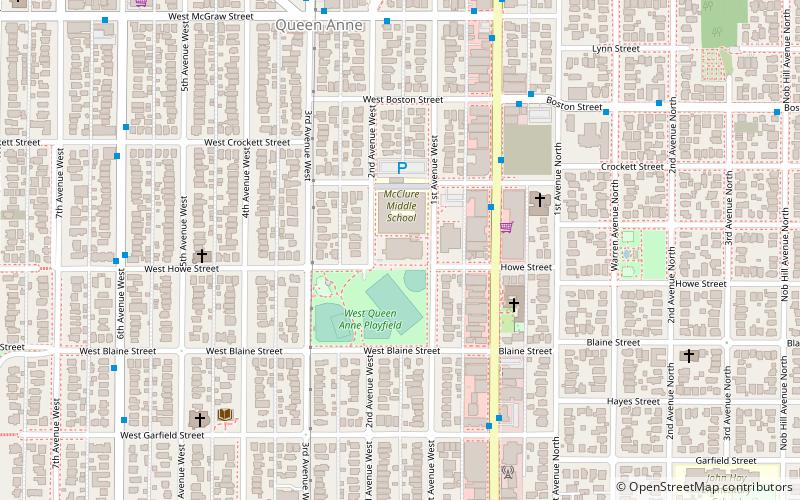
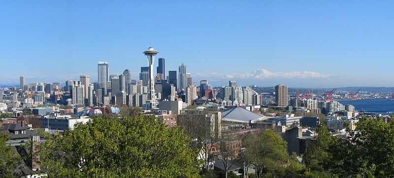
Queen Anne is a neighborhood and geographic feature in Seattle, Washington, United States, located northwest of downtown. The affluent neighborhood sits on the eponymous hill, whose maximum elevation is 456 feet, making it Seattle's highest named hill. Queen Anne covers an area of 7.3 square kilometers, and has a population of about 28,000. It is bordered by Belltown to the south, Lake Union to the east, the Lake Washington Ship Canal to the north and Interbay to the west. ()
Day trips
Queen Anne – popular in the area (distance from the attraction)
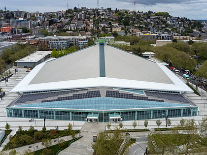
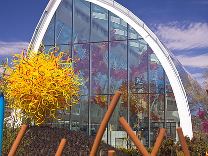
Nearby attractions include: Seattle Center, Climate Pledge Arena, Chihuly Garden and Glass, Kerry Park.
Frequently Asked Questions (FAQ)
Which popular attractions are close to Queen Anne?
Nearby attractions include Queen Anne Boulevard, Seattle (4 min walk), Kerry Park, Seattle (13 min walk), North Queen Anne Drive Bridge, Seattle (14 min walk), Parsons Gardens, Seattle (14 min walk).
How to get to Queen Anne by public transport?
The nearest stations to Queen Anne:
Bus
Train
Tram
Bus
- Boston St & 1st Ave N • Lines: 3 (6 min walk)
- W Mcgraw St & 3rd Ave W • Lines: 3 (7 min walk)
Train
- Seattle Center (29 min walk)
Tram
- Westlake & Mercer • Lines: South Lake Union Streetcar (33 min walk)
- Lake Union Park • Lines: South Lake Union Streetcar (33 min walk)

