Frink Park, Seattle

Map
Facts and practical information
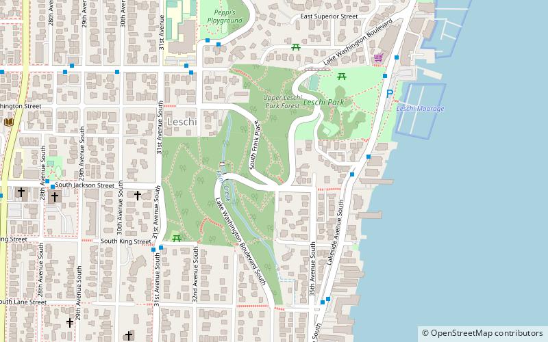
Frink Park is a 17.2 acre park in the Leschi neighborhood of Seattle, Washington. It is a heavily wooded hillside and ravine through which flows Frink Creek. Most of the park is bounded by 31st Avenue S. in the west, 34th Avenue S. in the east, and the rights-of-way of S. Main Street in the north and S. King Street in the south. Lake Washington Boulevard S. and S. Frink Place are recreational drives within the park. ()
Elevation: 144 ft a.s.l.Coordinates: 47°35'58"N, 122°17'20"W
Address
398 Lake Washington Blvd SCentral Seattle (Leschi)Seattle
Contact
+1 206-684-4075
Social media
Day trips
Frink Park – popular in the area (distance from the attraction)
Nearby attractions include: Leschi Park, Lacey V. Murrow Memorial Bridge, Temple De Hirsch Sinai, The Seattle Bouldering Project.
Frequently Asked Questions (FAQ)
Which popular attractions are close to Frink Park?
Nearby attractions include Leschi Park, Seattle (3 min walk), Leschi, Seattle (4 min walk), Nora's Woods, Seattle (18 min walk), Madrona, Seattle (18 min walk).
How to get to Frink Park by public transport?
The nearest stations to Frink Park:
Bus
Tram
Bus
- Lakeside Ave S & S Leschi Pl • Lines: 27 (4 min walk)
- E Yesler Way & 32nd Ave • Lines: 27 (6 min walk)
Tram
- 14th & Washington • Lines: First Hill Streetcar (30 min walk)


