Guadalupe

Gallery (1)
Map
Map
Facts and practical information
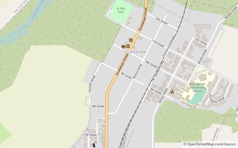
Guadalupe is a small city located in Santa Barbara County, California. According to the U.S. Census of 2010, the city has a population of 7,080. Guadalupe is economically and socially tied to the city of Santa Maria, which is about 8 miles to the east. It is located at the intersection of Highway 1 and Highway 166, immediately south of the Santa Maria River, and 5 miles east of the Pacific Ocean. ()
Day trips
Guadalupe – popular in the area (distance from the attraction)
Nearby attractions include: Guadalupe-Nipomo Dunes.
