Guadalupe-Nipomo Dunes

Gallery (5)
Map


Map

Gallery
Facts and practical information
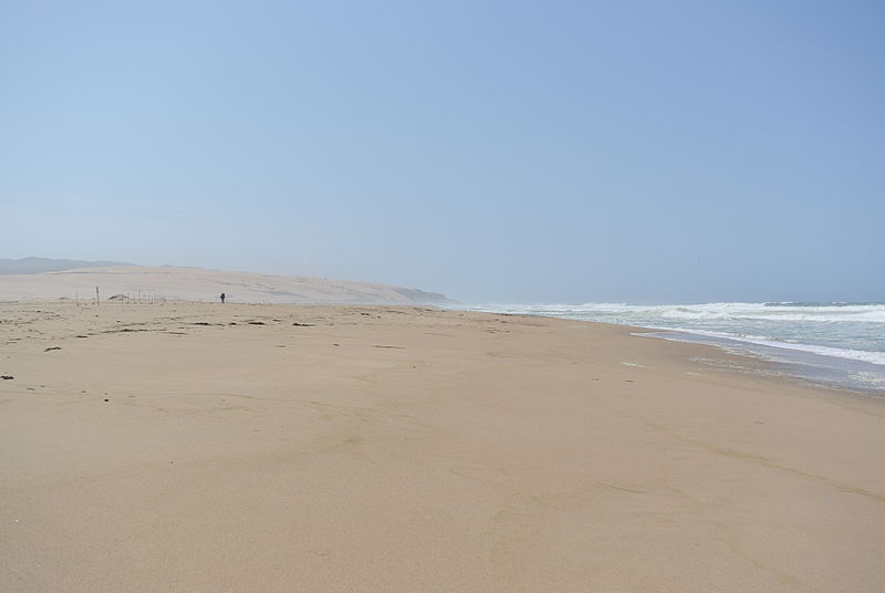
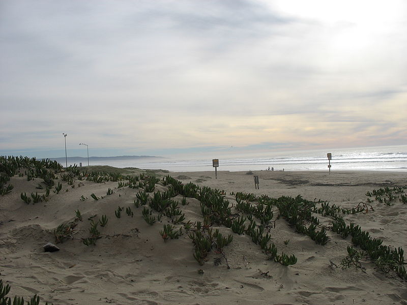
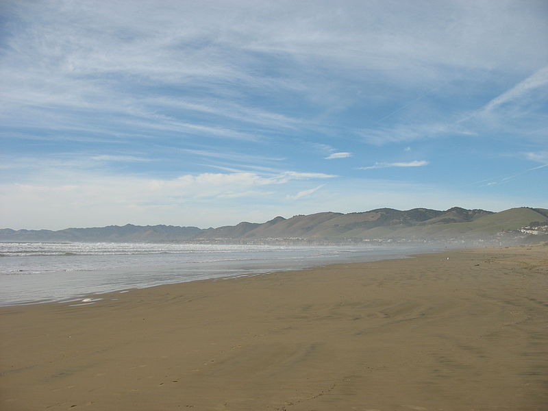
Guadalupe-Nipomo Dunes is the largest remaining dune system south of San Francisco and the second largest in the U.S. state of California. It encompasses an 18-mile stretch of coastline on the Central Coast of California and extends from southern San Luis Obispo County to northern Santa Barbara County. ()
Elevation: 0 ft a.s.l.Coordinates: 34°58'34"N, 120°39'0"W
Location
California
ContactAdd
Social media
Add
Day trips
Guadalupe-Nipomo Dunes – popular in the area (distance from the attraction)
Nearby attractions include: Guadalupe.
