Beach Park, Bakersfield

Map
Facts and practical information
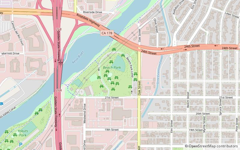
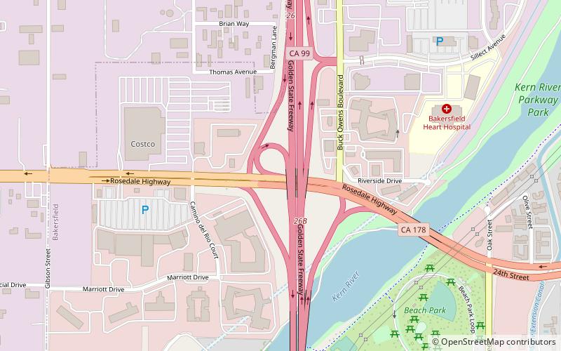
Beach Park is a public park in Bakersfield, California. It is located at the major intersection of 24th street and Oak street, which makes it one of the more visible parks in the city. It is directly adjacent to the Kern River Parkway, and is used as a staging area for the various trails in the parkway. ()
Elevation: 400 ft a.s.l.Coordinates: 35°22'46"N, 119°2'24"W
Address
1 Beach Park LoopCentral Bakersfield (Riviera-Westchester)Bakersfield 93301
Contact
(661) 326-3866
Social media
Day trips
Beach Park – popular in the area (distance from the attraction)
Nearby attractions include: Kern County Museum, Bakersfield City Hall, Fox Theater, Buck Owens' Crystal Palace.
Frequently Asked Questions (FAQ)
Which popular attractions are close to Beach Park?
Nearby attractions include Kern River Parkway, Bakersfield (10 min walk), Jastro Park, Bakersfield (12 min walk), Buck Owens' Crystal Palace, Bakersfield (13 min walk).
How to get to Beach Park by public transport?
The nearest stations to Beach Park:
Bus
Bus
- Bakersfield Greyhound Bus Station (26 min walk)
- K • Lines: 84 (29 min walk)


