Kern River Parkway, Bakersfield

Map
Facts and practical information
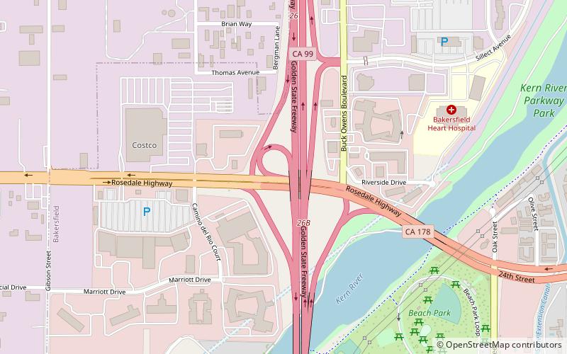
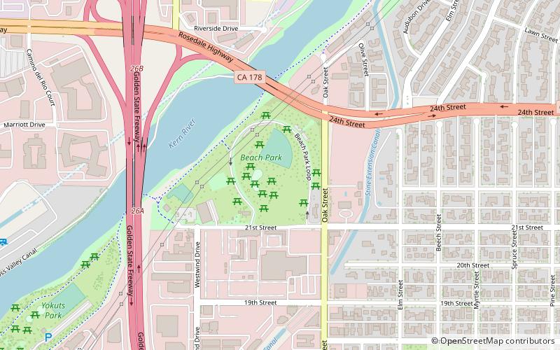
The Kern River Parkway is primarily a natural preserve in Bakersfield, California. It runs the length of the Kern River from the mouth of the Kern Canyon to Interstate 5. At 6,000 acres, it is the largest municipal park in the county. The parkway was created in 1976 when the city purchased all assets related to the Kern River from Tenneco West. ()
Created: 1976Elevation: 400 ft a.s.l.Coordinates: 35°22'60"N, 119°2'42"W
Address
Northwest Bakersfield (San Lauren)Bakersfield
ContactAdd
Social media
Add
Day trips
Kern River Parkway – popular in the area (distance from the attraction)
Nearby attractions include: Buck Owens' Crystal Palace, Beach Park, Unity Church of Bakersfield, Jastro Park.
Frequently Asked Questions (FAQ)
Which popular attractions are close to Kern River Parkway?
Nearby attractions include Buck Owens' Crystal Palace, Bakersfield (6 min walk), Beach Park, Bakersfield (10 min walk), Jastro Park, Bakersfield (22 min walk).


