The Arc at Old Colony, Chicago
Map
Map

Facts and practical information
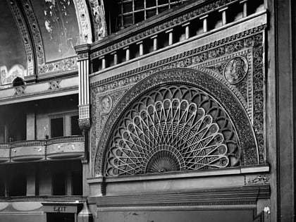
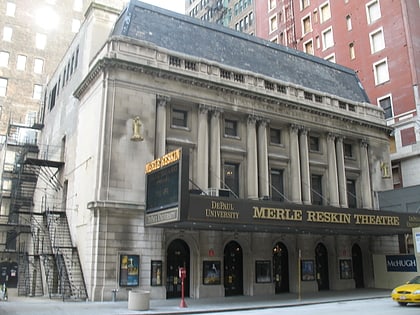
The Arc at Old Colony is a 17-story landmark building in the Chicago Loop community area of Chicago, Illinois. Designed by the architectural firm Holabird & Roche in 1893–94, it stands at approximately 215 feet and was the tallest building in Chicago at the time it was built. The building was designated a Chicago Landmark on July 7, 1978. It was the first tall building to use a system of internal portal arches as a means of bracing the structure against high winds. ()
Built: 1893 (133 years ago)Coordinates: 41°52'36"N, 87°37'44"W
Address
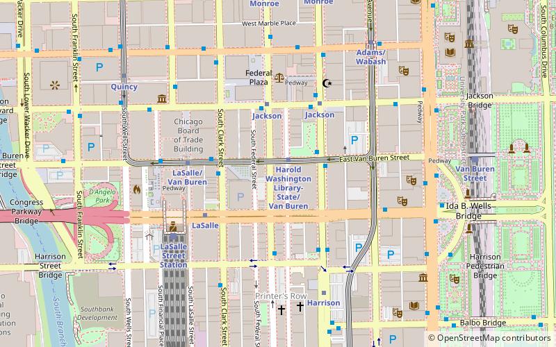
407 South Dearborn StreetDowntown (The Loop)Chicago
Contact
+1 312-922-3743
Social media
Day trips
The Arc at Old Colony – popular in the area (distance from the attraction)
Nearby attractions include: Buddy Guy's Legends, Money Museum, Chicago Board of Trade, Second Leiter Building.
Frequently Asked Questions (FAQ)
Which popular attractions are close to The Arc at Old Colony?
Nearby attractions include Manhattan Building, Chicago (2 min walk), Fisher Building, Chicago (2 min walk), Harold Washington Library, Chicago (2 min walk), Monadnock Building, Chicago (2 min walk).
How to get to The Arc at Old Colony by public transport?
The nearest stations to The Arc at Old Colony:
Metro
Bus
Train
Metro
- Harold Washington Library-State/Van Buren • Lines: Brown, Orange, Pink, Purple (1 min walk)
- Jackson • Lines: Blue, Red (3 min walk)
Bus
- Dearborn & Ida B Wells Drive • Lines: 22, 24, 36, 62, 850, 851, 855, (N) N22, (N) N62 (2 min walk)
- State & Van Buren • Lines: 10, 130, 146, 147, 148, 2, 29, 36, 6, 62, (N) N62 (2 min walk)
Train
- LaSalle Street Station (5 min walk)
- Van Buren Street (9 min walk)

 Rail "L"


