Sexton Glacier, Glacier National Park

Map
Facts and practical information
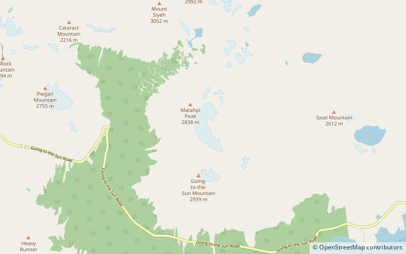
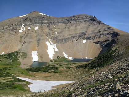
Sexton Glacier is located in the U.S. state of Montana in Glacier National Park. The glacier is situated in a cirque north of Going-to-the-Sun Mountain and on the southeast slope of Matahpi Peak at an elevation between 8,000 feet and 7,000 feet above sea level. The glacier covers an area of approximately 68 acres and lost over 30 percent of its surface area between 1966 and 2005. ()
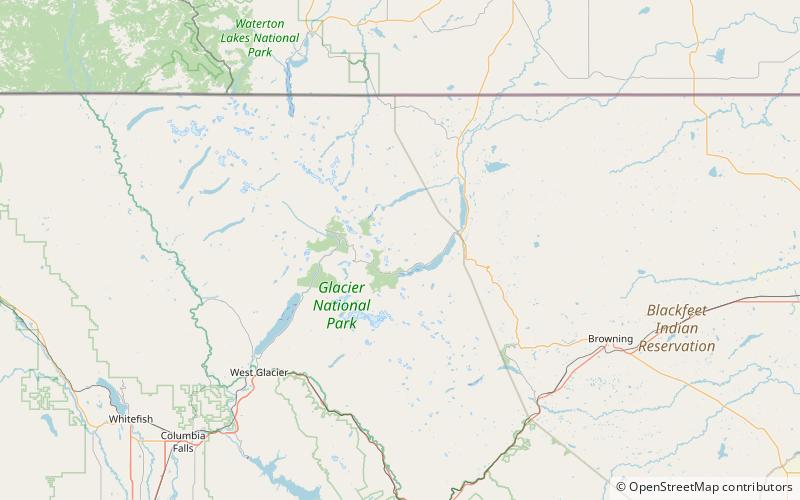
Coordinates: 48°42'6"N, 113°38'6"W
Address
Glacier National Park
ContactAdd
Social media
Add
Day trips
Sexton Glacier – popular in the area (distance from the attraction)
Nearby attractions include: Heavy Runner Mountain, Mount Siyeh, Cracker Lake, Pollock Mountain.
Frequently Asked Questions (FAQ)
Which popular attractions are close to Sexton Glacier?
Nearby attractions include Matahpi Peak, Glacier National Park (10 min walk), Going-to-the-Sun Mountain, Glacier National Park (20 min walk).


