Abingdon Square Park, New York City
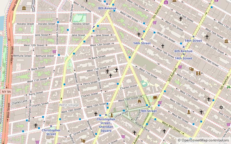
Map

Gallery
Facts and practical information
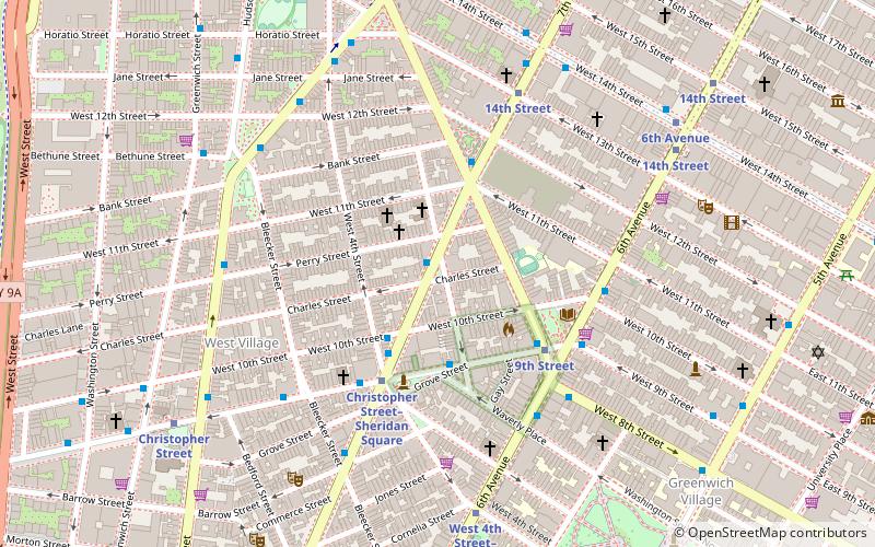
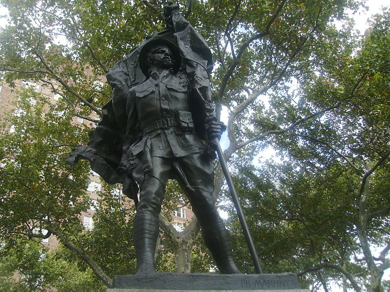
Abingdon Square Park is located in the New York City borough of Manhattan in Greenwich Village. The park is bordered by Eighth Avenue, Bank Street, Hudson Street and West 12th Street. ()
Elevation: 16 ft a.s.l.Coordinates: 40°44'14"N, 74°0'19"W
Day trips
Abingdon Square Park – popular in the area (distance from the attraction)
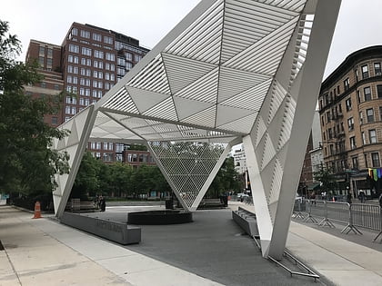
Nearby attractions include: Whitney Museum of American Art, New York City AIDS Memorial, Congregation Beit Simchat Torah, Church of St. Joseph in Greenwich Village.
Frequently Asked Questions (FAQ)
Which popular attractions are close to Abingdon Square Park?
Nearby attractions include Bank Street, New York City (2 min walk), White Columns, New York City (4 min walk), West Village, New York City (4 min walk), Congregation Beit Simchat Torah, New York City (5 min walk).
How to get to Abingdon Square Park by public transport?
The nearest stations to Abingdon Square Park:
Bus
Metro
Train
Ferry
Bus
- Bethune Street & Greenwich Street • Lines: M11 (2 min walk)
- Greenwich St/ Horatio St • Lines: M11 (4 min walk)
Metro
- 8th Avenue • Lines: L (6 min walk)
- 14th Street • Lines: A, C, E (6 min walk)
Train
- New York Penn Station (29 min walk)
- Pennsylvania Station (29 min walk)
Ferry
- Hoboken NJ Transit Terminal (29 min walk)
- Hoboken 14th Street (36 min walk)
 Subway
 Manhattan Buses
