Broadway Avenue Bridge, Minneapolis
Map
Gallery
Facts and practical information
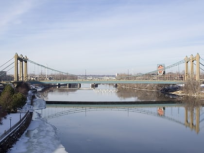
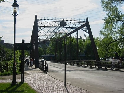
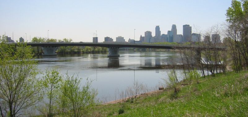
Broadway Avenue Bridge is a girder bridge that spans the Mississippi River in Minneapolis, Minnesota. Designed by Norman C. Davis and Shawn Pierson Bruns of Van Doren-Hazard-Stallings, it was built in 1987. The bridge has a rather streamlined shape, but its piers are more ornate. The piers have two flat columns that taper together, with a base that extends out to the full width of the bridge. ()
Opened: 1987 (39 years ago)Coordinates: 44°59'56"N, 93°16'33"W
Address
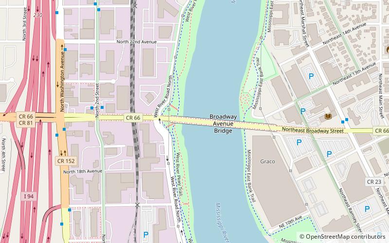
W Broadway AveNear North (Hawthorne)Minneapolis
ContactAdd
Social media
Add
Day trips
Broadway Avenue Bridge – popular in the area (distance from the attraction)
Nearby attractions include: Target Field, Saint Anthony Main, North Loop, Our Lady of Lourdes Catholic Church.
Frequently Asked Questions (FAQ)
Which popular attractions are close to Broadway Avenue Bridge?
Nearby attractions include Grain Belt, Minneapolis (8 min walk), Pierre Bottineau Library, Minneapolis (8 min walk), Northern Pacific-BNSF Minneapolis Rail Bridge, Minneapolis (10 min walk), Plymouth Avenue Bridge, Minneapolis (12 min walk).
How to get to Broadway Avenue Bridge by public transport?
The nearest stations to Broadway Avenue Bridge:
Bus
Train
Light rail
Bus
- Washington Av N • Lines: 3, 3A, 3B, 3K (27 min walk)
- 4 St Garage • Lines: 3, 3A, 3B, 3K (28 min walk)
Train
- Target Field (28 min walk)
Light rail
- Target Field • Lines: 901, 902 (29 min walk)


