Wabasha Street Bridge, Saint Paul
Map
Map

Facts and practical information
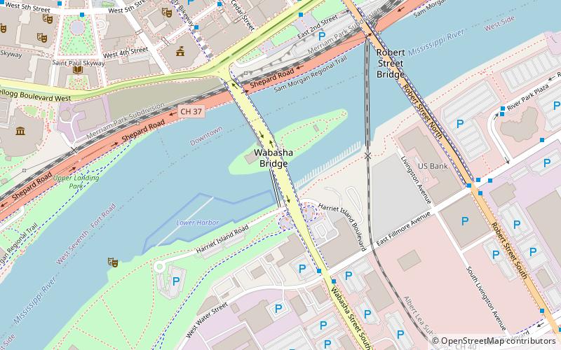
The Wabasha Street Bridge is a segmental bridge that spans the Mississippi River in downtown Saint Paul, Minnesota, United States. It was named Wabasha Street Freedom Bridge in 2002, to commemorate the first anniversary of the September 11 attacks. It actually consists of two separate bridges, one for northbound and one for southbound traffic. The use of a concrete segmental box girder bridge provided a construction advantage because no falsework needed to be built beneath the bridge. ()
Opened: 1998 (28 years ago)Coordinates: 44°56'30"N, 93°5'27"W
Address
Wabasha St.West Side (Riverview)Saint Paul
ContactAdd
Social media
Add
Day trips
Wabasha Street Bridge – popular in the area (distance from the attraction)
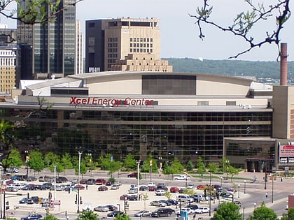
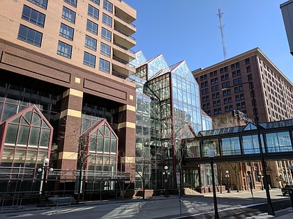
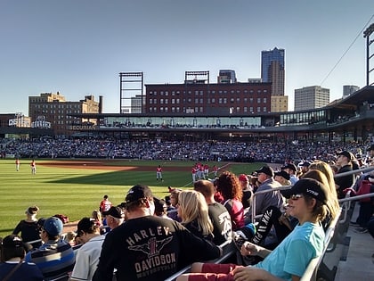
Nearby attractions include: Xcel Energy Center, Cray Plaza, Science Museum of Minnesota, CHS Field.
Frequently Asked Questions (FAQ)
Which popular attractions are close to Wabasha Street Bridge?
Nearby attractions include Minnesota Boat Club Boathouse on Raspberry Island, Saint Paul (1 min walk), Raspberry Island, Saint Paul (2 min walk), St. Paul Union Pacific Vertical-lift Rail Bridge, Saint Paul (6 min walk), Robert Street Bridge, Saint Paul (6 min walk).
How to get to Wabasha Street Bridge by public transport?
The nearest stations to Wabasha Street Bridge:
Bus
Light rail
Train
Bus
- Minnesota St • Lines: 3A, 3B (7 min walk)
- 4 St • Lines: 3A, 3B (7 min walk)
Light rail
- Central Station • Lines: 902 (9 min walk)
- Union Depot • Lines: 902 (13 min walk)
Train
- Saint Paul Union Depot (12 min walk)

