Westham Bridge, Richmond
Map

Gallery

Facts and practical information
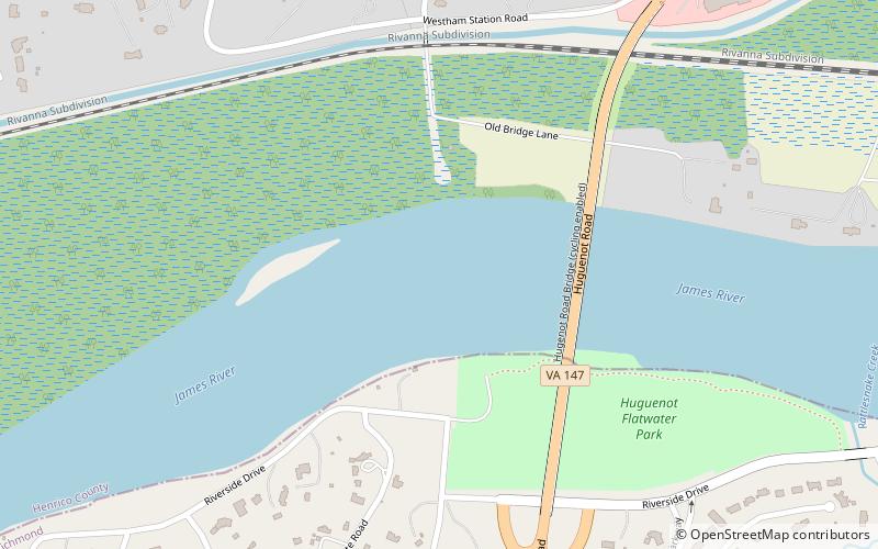
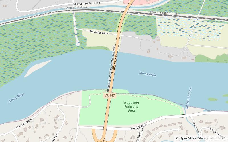
Westham Bridge crossed the James River between Henrico County and Chesterfield County. The bridge was located between Bosher Dam and Williams Island Dam just west of the 7 miles of rapids and falls which constitute the fall line of the James River at Richmond, Virginia. ()
Opened: 1911 (115 years ago)Coordinates: 37°33'42"N, 77°32'48"W
Address
TuckahoeRichmond
ContactAdd
Social media
Add
Day trips
Westham Bridge – popular in the area (distance from the attraction)
Nearby attractions include: Henry Mansfield Cannon Memorial Chapel, Huguenot Memorial Bridge, North Court, Three Chopt Road Historic District.


