Huguenot Memorial Bridge, Richmond

Map
Facts and practical information
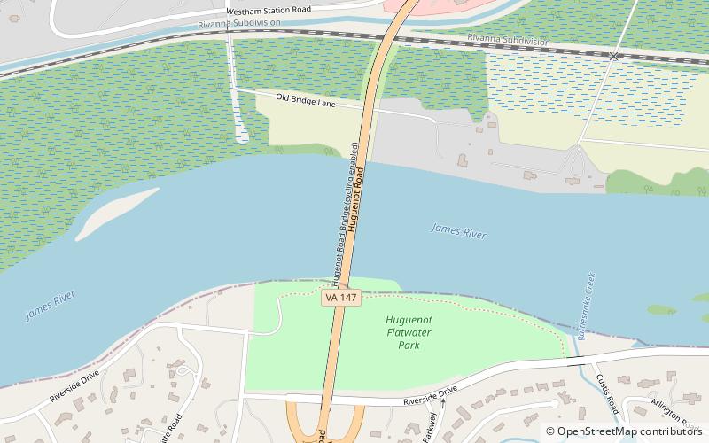
Huguenot Memorial Bridge is located in Henrico County and the independent city of Richmond, Virginia. It carries State Route 147 across the former Chesapeake and Ohio Railway, the James River and Kanawha Canal, and the James River in the Fall Line region above the head of navigation at Richmond. ()
Opened: 1950 (76 years ago)Coordinates: 37°33'42"N, 77°32'38"W
Address
Virginia State Route 147Stratford Hills - Stony Point (Stratford Hills)Richmond 23235
ContactAdd
Social media
Day trips
Huguenot Memorial Bridge – popular in the area (distance from the attraction)
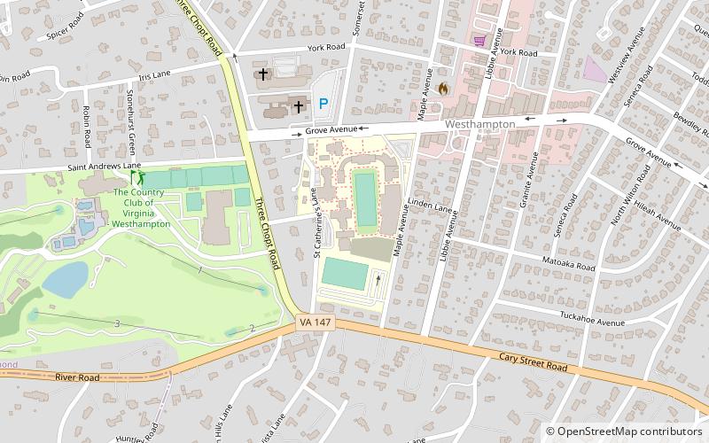
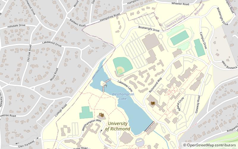
Nearby attractions include: Henry Mansfield Cannon Memorial Chapel, Tuckahoe Apartments, Westham Bridge, North Court.
Frequently Asked Questions (FAQ)
Which popular attractions are close to Huguenot Memorial Bridge?
Nearby attractions include Westham Bridge, Richmond (4 min walk), Henry Mansfield Cannon Memorial Chapel, Richmond (24 min walk).


