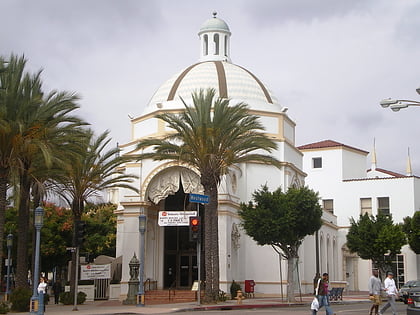
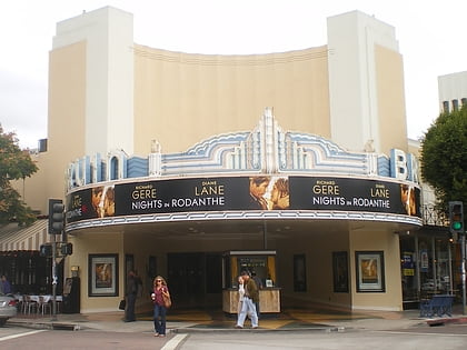
Westside, Los Angeles
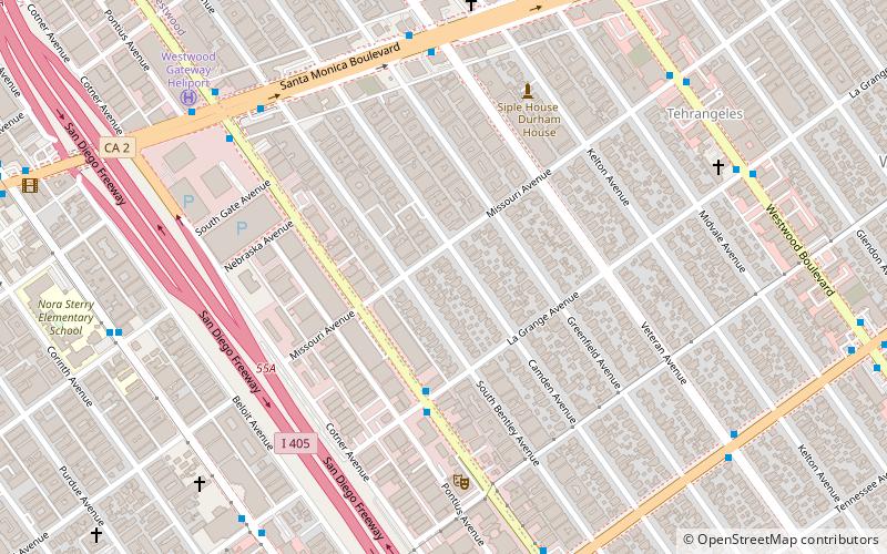
Map
Facts and practical information
The Los Angeles Westside is an urban region in western Los Angeles County, California. It has no official definition, but sources like LA Weekly and the Mapping L.A. survey of the Los Angeles Times place the region on the western side of the Los Angeles Basin south of the Santa Monica Mountains. ()
Address
West Los Angeles (Westside)Los Angeles
ContactAdd
Social media
Add
Day trips
Westside – popular in the area (distance from the attraction)
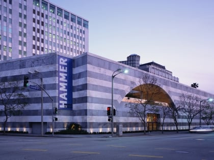
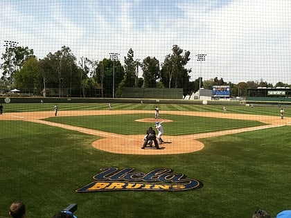
Nearby attractions include: Westwood Village Memorial Park Cemetery, Westside Pavilion, Hammer Museum, Jackie Robinson Stadium.
Frequently Asked Questions (FAQ)
Which popular attractions are close to Westside?
Nearby attractions include Westwood Boulevard, Los Angeles (10 min walk), West Los Angeles, Los Angeles (12 min walk), Los Angeles Temple, Los Angeles (16 min walk), St. Paul the Apostle Church and School, Los Angeles (20 min walk).
How to get to Westside by public transport?
The nearest stations to Westside:
Bus
Light rail
Bus
- Sepulveda & La Grange • Lines: 6 (4 min walk)
- Santa Monica & Veteran • Lines: 1, 4 (7 min walk)
Light rail
- Expo/Sepulveda • Lines: E (19 min walk)
- Westwood/Rancho Park • Lines: E (27 min walk)
 Metro & Regional Rail

