Los Angeles Basin, Los Angeles
Facts and practical information
The Los Angeles Basin is a sedimentary basin located in southern California, in a region known as the Peninsular Ranges. The basin is also connected to an anomalous group of east-west trending chains of mountains collectively known as the Transverse Ranges. The present basin is a coastal lowland area, whose floor is marked by elongate low ridges and groups of hills that is located on the edge of the Pacific Plate. The Los Angeles Basin, along with the Santa Barbara Channel, the Ventura Basin, the San Fernando Valley, and the San Gabriel Basin, lies within the greater southern California region. On the north, northeast, and east, the lowland basin is bound by the Santa Monica Mountains and Puente, Elysian, and Repetto hills. To the southeast, the basin is bordered by the Santa Ana Mountains and the San Joaquin Hills. The western boundary of the basin is marked by the Continental Borderland and is part of the onshore portion. The California borderland is characterized by northwest trending offshore ridges and basins. The Los Angeles Basin is notable for its great structural relief and complexity in relation to its geologic youth and small size for its prolific oil production. Yerkes et al. identify five major stages of the basin's evolution, which began in the Upper Cretaceous and ended in the Pleistocene. This basin can be classified as an irregular pull-apart basin accompanied by rotational tectonics during the post-early Miocene. ()
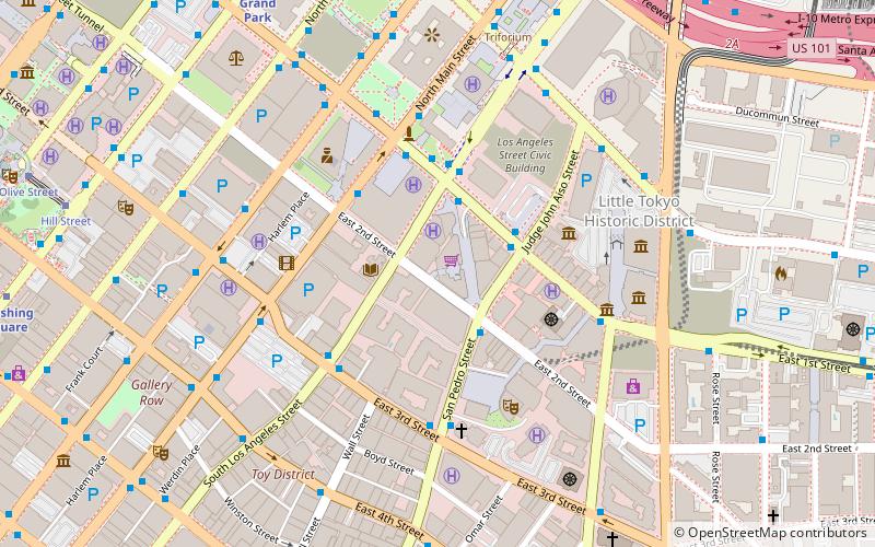
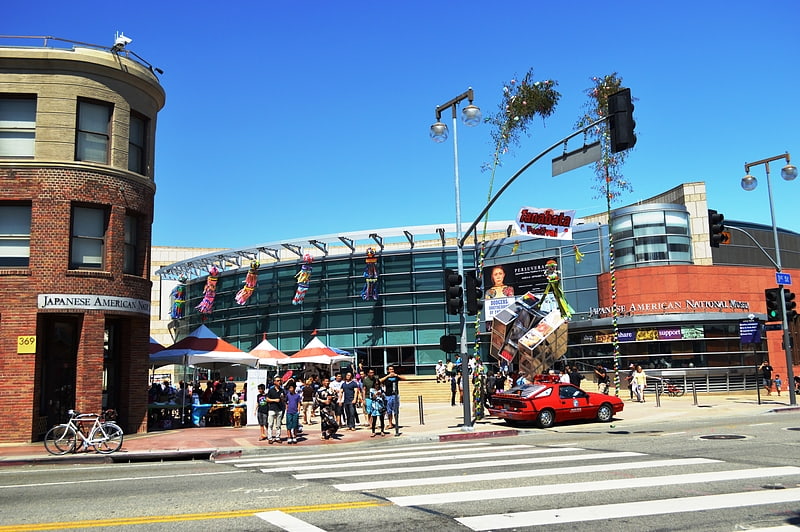
Central Los Angeles (Historic Cultural)Los Angeles
- Metro
- Bus
- Light rail
- Train
 Metro
Metro
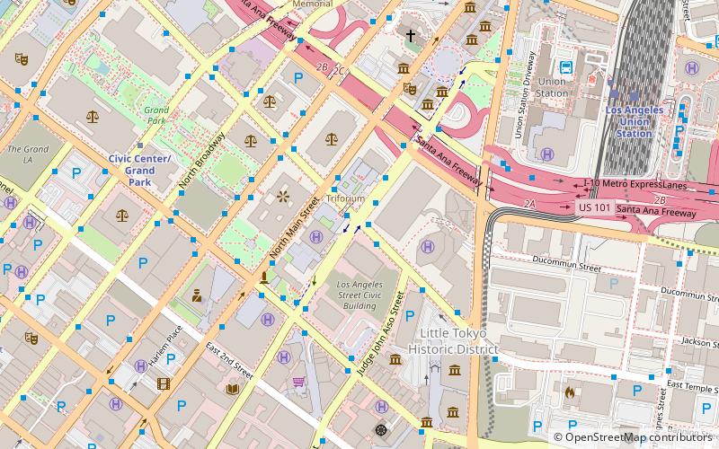
- Calculate routeSpring Street & 1st Street 7 min walk
- Calculate routeBroadway & 3rd 8 min walk
- Calculate routeCivic Center/Grand Park 11 min walk
- Calculate routePershing Square 13 min walk
- Calculate routeUnion Station 16 min walk
- Calculate routeUnion Station 16 min walk
- Calculate route7th Street/Metro Center 24 min walk
- Calculate routePico/Aliso 25 min walk
- Calculate routeLos Angeles Union Station 16 min walk
 Metro & Regional Rail
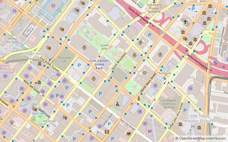


Frequently Asked Questions (FAQ)
Which popular attractions are close to Los Angeles Basin?
How to get to Los Angeles Basin by public transport?
Bus
- Spring Street & 1st Street • Lines: J (7 min walk)
- Broadway & 3rd • Lines: 4 (8 min walk)
Metro
- Civic Center/Grand Park • Lines: B, D (11 min walk)
- Pershing Square • Lines: B, D (13 min walk)
Light rail
- Union Station • Lines: L (16 min walk)
- 7th Street/Metro Center • Lines: A, E (24 min walk)
Train
- Los Angeles Union Station (16 min walk)