James White's Fort, Knoxville
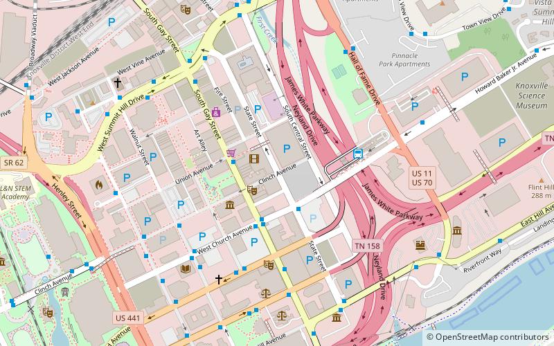
Map

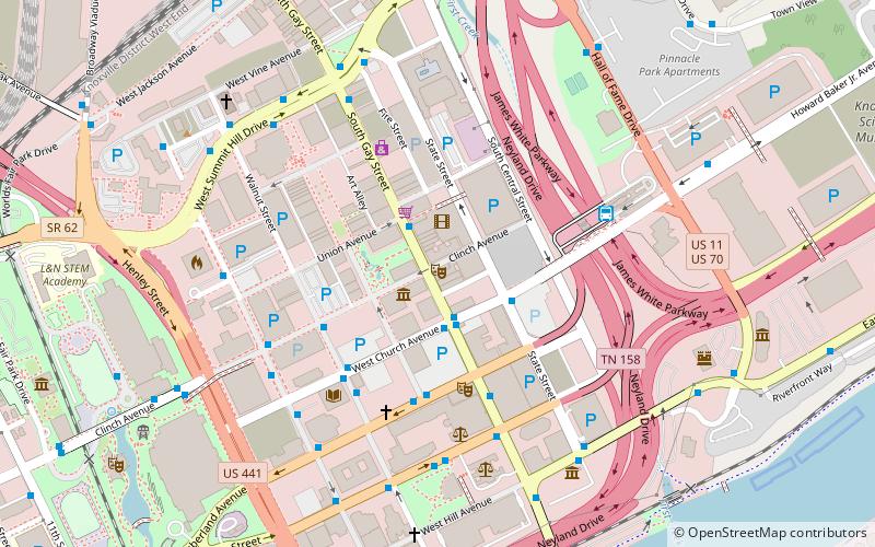
Map

Facts and practical information
James White's Fort, also known as White's Fort, was an 18th-century settlement that became Knoxville, Tennessee, in the United States. The name also refers to the fort, itself. ()
Coordinates: 35°57'53"N, 83°55'0"W
Address
Downtown KnoxvilleKnoxville
ContactAdd
Social media
Add
Day trips
James White's Fort – popular in the area (distance from the attraction)
Nearby attractions include: Neyland Stadium, Knoxville Civic Coliseum, Thompson–Boling Arena, Volunteer Landing.
Frequently Asked Questions (FAQ)
Which popular attractions are close to James White's Fort?
Nearby attractions include First Presbyterian Church, Knoxville (2 min walk), The Burwell, Knoxville (2 min walk), Fidelity Building, Knoxville (3 min walk), The Holston, Knoxville (3 min walk).
How to get to James White's Fort by public transport?
The nearest stations to James White's Fort:
Bus
Train
Bus
- State St WB at Church Avenue • Lines: 10, 11, 17 (2 min walk)
- Gay St.@Union Ave. Nb • Lines: Green Line Trolley (2 min walk)
Train
- Jackson Terminal (10 min walk)
- Three Rivers Rambler (18 min walk)


