Wittpenn Bridge, Jersey City
Map

Gallery

Facts and practical information
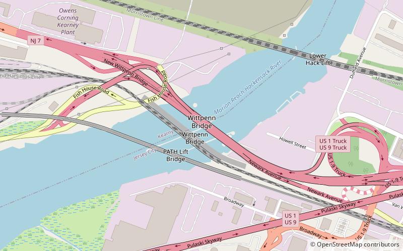
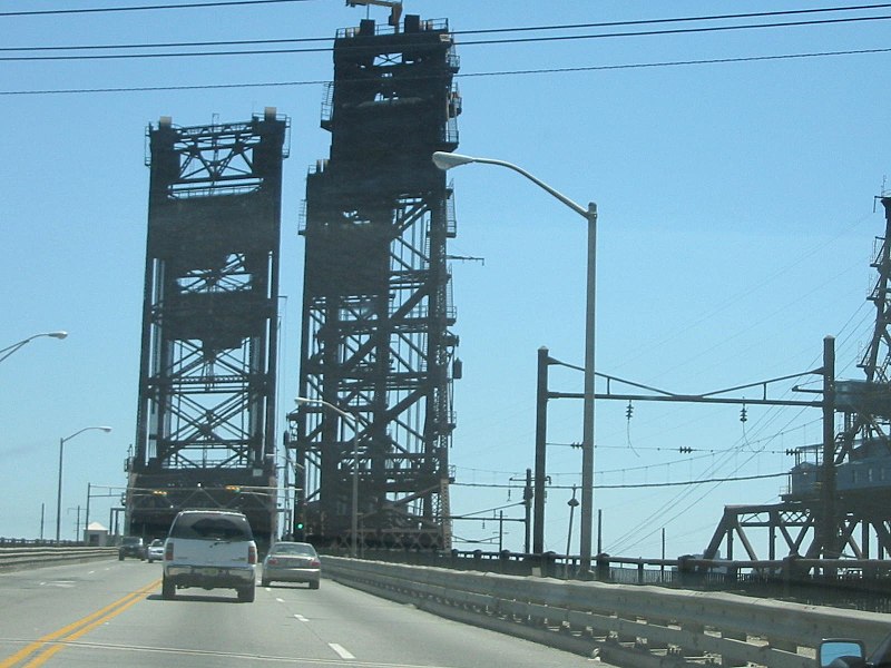
The Wittpenn Bridge is a vertical-lift bridge that carries New Jersey Route 7 over the Hackensack River connecting Kearny and Jersey City, New Jersey. It is named after H. Otto Wittpenn, a former mayor of Jersey City. The bridge has an annual average daily traffic of nearly 50,000 vehicles, including about 2,000 trucks. In 2005, the bridge was raised to accommodate 80 boats passing underneath. The original span opened in 1930; a replacement opened in 2021. ()
Length: 2169 ftWidth: 40 ftCoordinates: 40°44'27"N, 74°4'53"W
Day trips
Wittpenn Bridge – popular in the area (distance from the attraction)
Nearby attractions include: Stanley Theater, Pulaski Skyway, Loew's Jersey Theatre, Mana Contemporary.
Frequently Asked Questions (FAQ)
Which popular attractions are close to Wittpenn Bridge?
Nearby attractions include PATH Lift Bridge, Jersey City (3 min walk), Lower Hack Lift, Jersey City (8 min walk), Hudson County, Jersey City (13 min walk), Marion Section, Jersey City (14 min walk).
How to get to Wittpenn Bridge by public transport?
The nearest stations to Wittpenn Bridge:
Bus
Metro
Bus
- JFK Boulevard at Saint Pauls Avenue • Lines: 125 (26 min walk)
- Sip Avenue at Tonnelle Avenue • Lines: 10 (26 min walk)
Metro
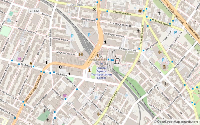
- Journal Square Transportation Center • Lines: Jsq–33, JSQ–33 via HOB, Nwk–Wtc (30 min walk)


