Pulaski Skyway, Newark
Map
Gallery
Facts and practical information
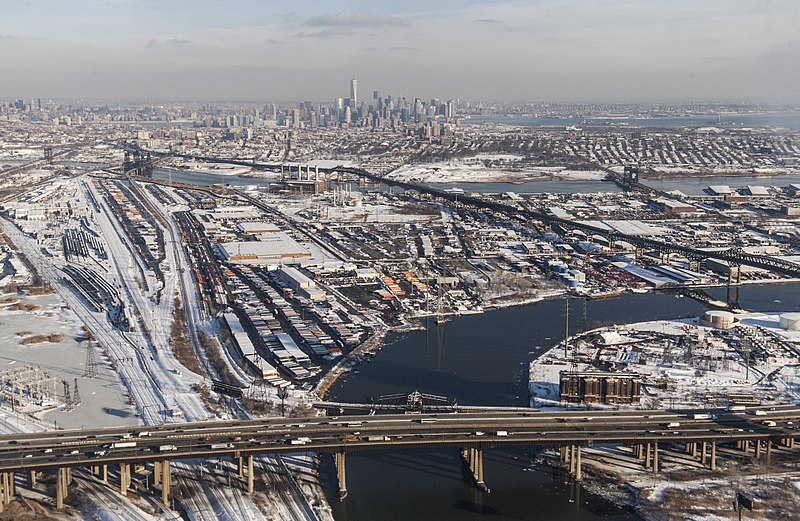
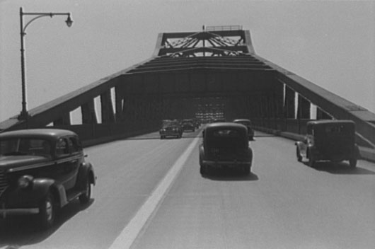
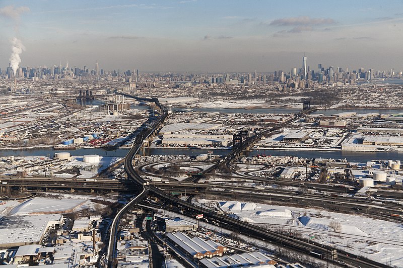
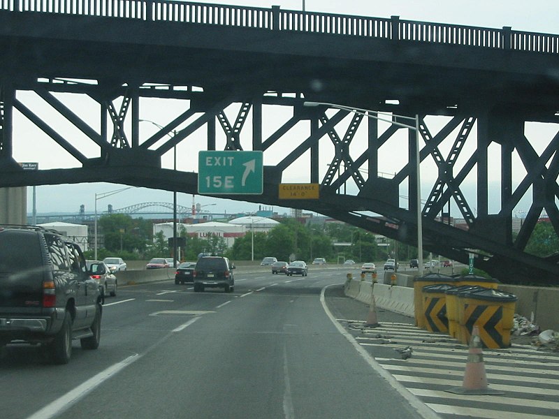
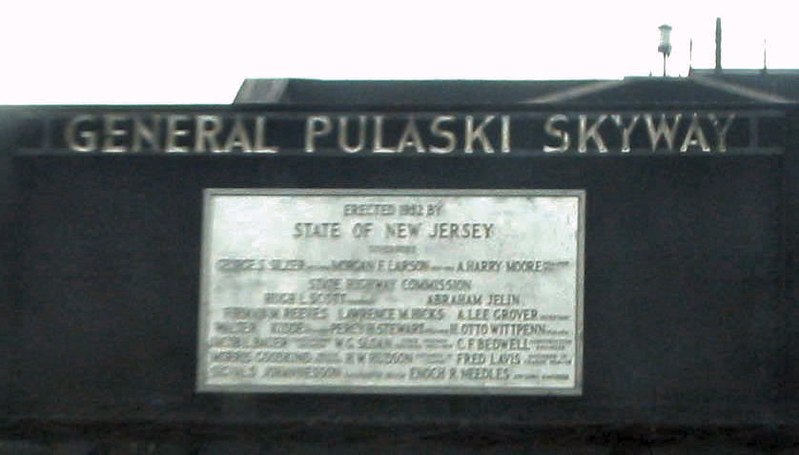
The Pulaski Skyway is a four-lane bridge-causeway in the northeastern part of the U.S. state of New Jersey, carrying an expressway designated U.S. Route 1/9 for most of its length. The structure has a total length of 3.502 miles. Its longest bridge spans 550 feet. Traveling between Newark and Jersey City, the roadway crosses the Passaic and Hackensack rivers, Kearny Point, the peninsula between them, and the New Jersey Meadowlands. ()
Address
Newark
ContactAdd
Social media
Add
Day trips
Pulaski Skyway – popular in the area (distance from the attraction)
Nearby attractions include: Temple Beth-El, Lincoln Highway Passaic River Bridge, Lincoln Highway, Lincoln Park.
Frequently Asked Questions (FAQ)
Which popular attractions are close to Pulaski Skyway?
Nearby attractions include Lincoln Highway, Newark (14 min walk), South Kearny, Jersey City (16 min walk), Lincoln Park, Jersey City (24 min walk), PATH Lift Bridge, Jersey City (24 min walk).
How to get to Pulaski Skyway by public transport?
The nearest stations to Pulaski Skyway:
Bus
Bus
- JFK Boulevard at Communipaw Avenue • Lines: 10, 119 (41 min walk)


