Wy'east Falls, Mark O. Hatfield Wilderness
#2 among attractions in Mark O. Hatfield Wilderness

Facts and practical information
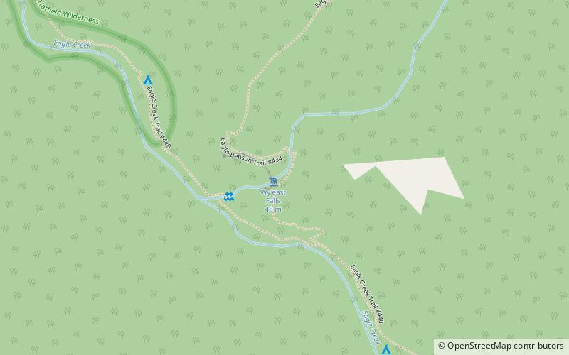
Wy'east Falls is a waterfall on a small tributary of Eagle Creek in Hood River County, Oregon, U.S. ()
Mark O. Hatfield Wilderness United States
Wy'east Falls – popular in the area (distance from the attraction)
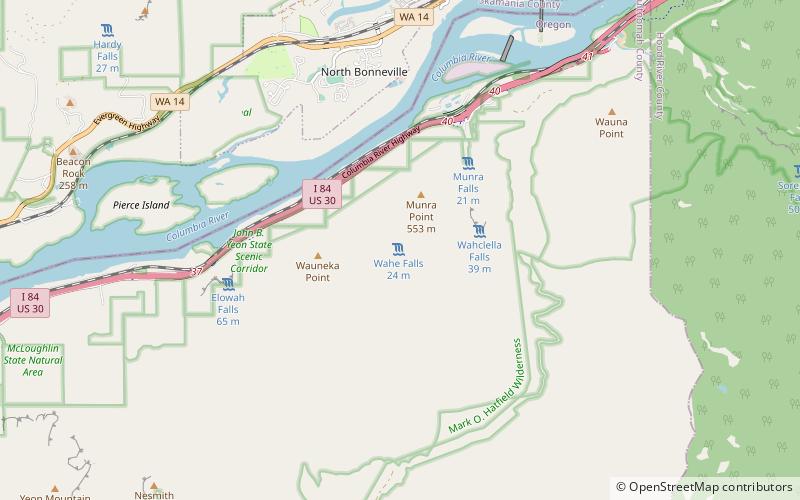
Nearby attractions include: Twister Falls, Punch Bowl Falls, Bonneville Dam, Wahclella Falls.
 Nature, Natural attraction, Waterfall
Twister Falls, Mark O. Hatfield Wilderness
24 min walk • Twister Falls is a prominent waterfall that is formed as Eagle Creek cascades 140 feet into a narrow canyon and forms two streams that appear to "twist" around each other, hence the name "twister".
 Nature, Natural attraction, Waterfall
Punch Bowl Falls, Cascade Locks
61 min walk • Punch Bowl Falls is a waterfall on Eagle Creek in the Columbia River Gorge National Scenic Area, Oregon, United States. Eagle Creek drains into the Columbia River, with its outlet on the Columbia River Gorge in Multnomah County.
 Dam
DamBonneville Dam, Cascade Locks
132 min walk • Bonneville Lock and Dam consists of several run-of-the-river dam structures that together complete a span of the Columbia River between the U.S. states of Oregon and Washington at River Mile 146.1.
 Nature, Natural attraction, Waterfall
Wahclella Falls, Cascade Locks
117 min walk • Wahclella Falls is a waterfall along Tanner Creek, a tributary of the Columbia River, Multnomah County, Oregon, United States. It enters the river within the Columbia River Gorge.
 Nature, Natural attraction, Waterfall
Metlako Falls, Cascade Locks
71 min walk • Metlako Falls is a waterfall on Eagle Creek in the Columbia River Gorge National Scenic Area in Hood River County, Oregon, United States. It is the furthest downstream of the major waterfalls on Eagle Creek. Like upstream Punch Bowl Falls, Metlako is also in the form of a punchbowl.
 Bridge
Bridge of the Gods, Stevenson
133 min walk • The Bridge of the Gods is a steel truss cantilever bridge that spans the Columbia River between Cascade Locks, Oregon, and Washington state near North Bonneville.
 City
CityNorth Bonneville
159 min walk • North Bonneville is a city in the Columbia River Gorge National Scenic Area along the Columbia River in Skamania County, Washington, United States. The population was 593 at the 2000 census and 956 at the 2010 census.
 Canal
CanalCascade Locks and Canal, Cascade Locks
140 min walk • The Cascade Locks and Canal was a navigation project on the Columbia River between the U.S. states of Oregon and Washington, completed in 1896. It allowed the steamboats of the Columbia River to bypass the Cascades Rapids, and thereby opened a passage from the lower parts of the river as far as The Dalles.
 Nature, Natural attraction, Waterfall
Eagle Creek waterfalls, Cascade Locks
71 min walk • Eagle Creek is a tributary of the Columbia River in Multnomah and Hood River counties in the U.S. state of Oregon. It cuts through a narrow canyon in its 3,200 feet descent to the Columbia River Gorge and is known for its concentration of 13 waterfalls in about 5 miles distance.
 Nature, Natural attraction, Waterfall
Wahe Falls, Cascade Locks
131 min walk • Wahe Falls, also called Moffett Creek Falls, is an 80-foot waterfall on the Columbia River Gorge, Multnomah County, Oregon, United States. Wahe Falls is the last of several waterfalls along Moffett Creek. The mouth of the Creek is within the limits of the John B. Yeon State Scenic Corridor.
 Nature, Natural attraction, Waterfall
Elowah Falls, Cascade Locks
135 min walk • Elowah Falls, also called McCord Creek Falls, is a 213-foot waterfall on the Columbia River Gorge, Multnomah County, Oregon, United States. Elowah Falls is one of several waterfalls along McCord Creek. The Creek and the waterfall are within the limits of the John B. Yeon State Scenic Corridor.