Cascade Locks and Canal, Cascade Locks
Map

Gallery

Facts and practical information
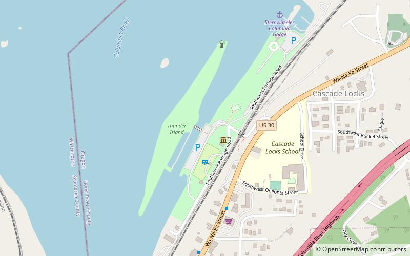
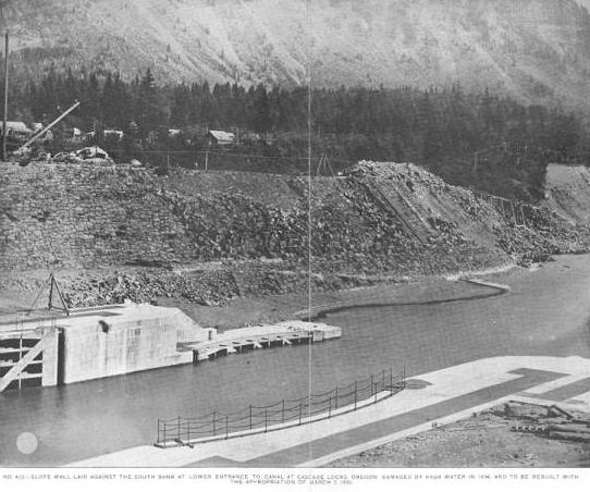
The Cascade Locks and Canal was a navigation project on the Columbia River between the U.S. states of Oregon and Washington, completed in 1896. It allowed the steamboats of the Columbia River to bypass the Cascades Rapids, and thereby opened a passage from the lower parts of the river as far as The Dalles. The locks were submerged and rendered obsolete in 1938, when the Bonneville Dam was constructed, along with a new set of locks, a short way downstream. ()
Built: 1896 (130 years ago)Coordinates: 45°40'7"N, 121°53'46"W
Address
Cascade Locks
ContactAdd
Social media
Add
Day trips
Cascade Locks and Canal – popular in the area (distance from the attraction)
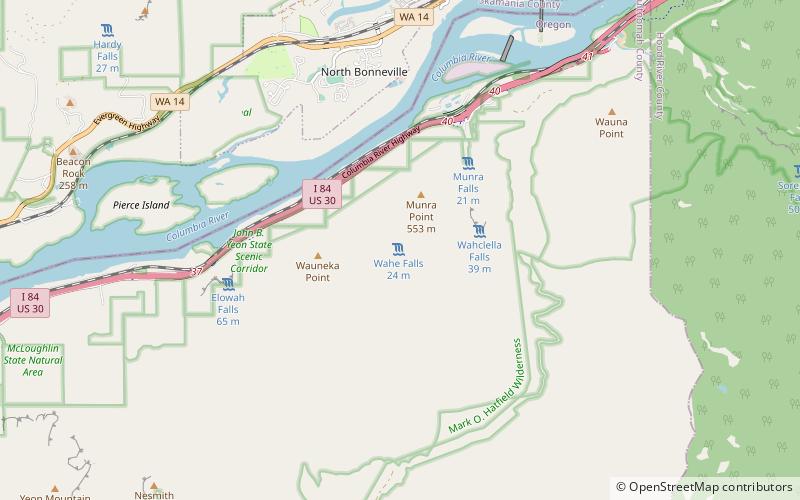
Nearby attractions include: Punch Bowl Falls, Bonneville Dam, Wahclella Falls, Metlako Falls.


