City Hall, East Liverpool
Map

Map

Facts and practical information
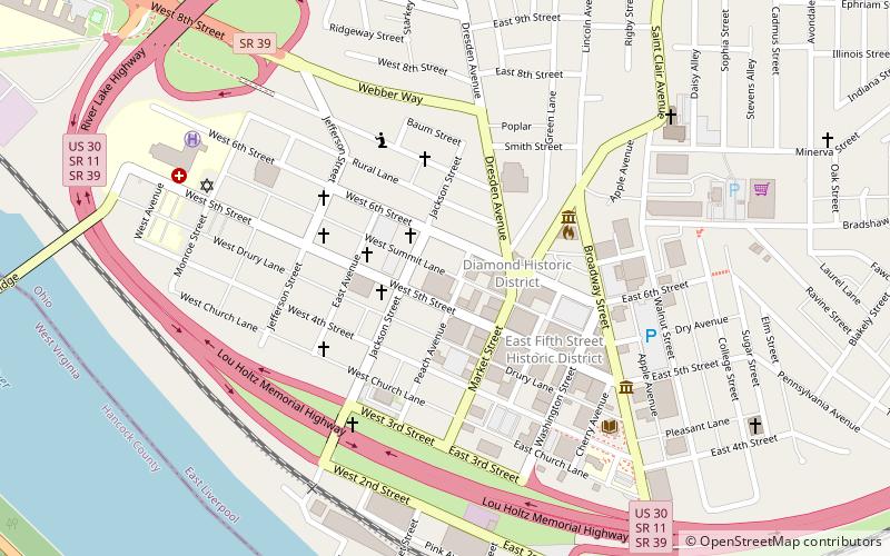
The City Hall in East Liverpool, Ohio is part of the East Liverpool Central Business District multiple resource area. It was added to the National Register of Historic Places on November 14, 1985. ()
Built: 1934 (92 years ago)Coordinates: 40°37'12"N, 80°34'51"W
Address
East Liverpool
ContactAdd
Social media
Add
Day trips
City Hall – popular in the area (distance from the attraction)
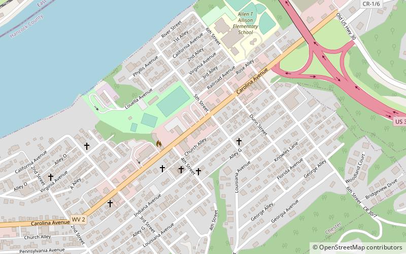
Nearby attractions include: Rock Springs Park, The Museum of Ceramics, Jennings Randolph Bridge, Chester teapot.
Frequently Asked Questions (FAQ)
Which popular attractions are close to City Hall?
Nearby attractions include Diamond Historic District, East Liverpool (2 min walk), The Museum of Ceramics, East Liverpool (6 min walk).


