Rock Springs Park, Chester

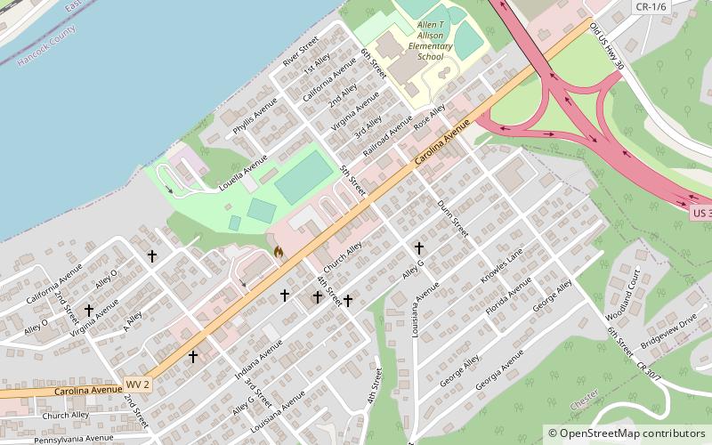
Map
Facts and practical information
Rock Springs Park is a defunct amusement park once located in Chester, West Virginia, Hancock County. The park officially began operation in 1897, and closed in 1970 after the death of its final owner, Robert Hand. After four years of disuse, the land was bought by the state of West Virginia for the rerouting of U.S. Route 30 and the construction of the Jennings Randolph Bridge over the Ohio River. ()
Opened: 1897 (129 years ago)Coordinates: 40°36'46"N, 80°33'46"W
Address
Chester
ContactAdd
Social media
Add
Day trips
Rock Springs Park – popular in the area (distance from the attraction)
Nearby attractions include: The Museum of Ceramics, Jennings Randolph Bridge, Chester teapot, City Hall.
Frequently Asked Questions (FAQ)
Which popular attractions are close to Rock Springs Park?
Nearby attractions include Chester teapot, Chester (10 min walk), Jennings Randolph Bridge, Chester (11 min walk), The Museum of Ceramics, East Liverpool (22 min walk).


