Key Bridge, Washington D.C.
Map

Gallery

Facts and practical information
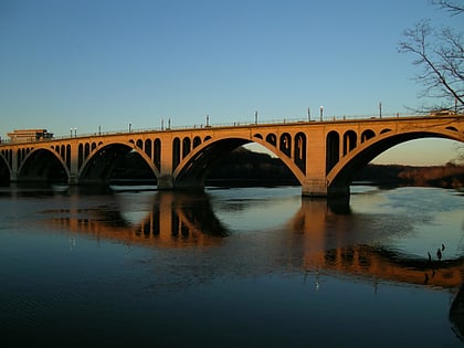
The Francis Scott Key Bridge, more commonly known as the Key Bridge, is a six-lane reinforced concrete arch bridge conveying U.S. Route 29 traffic across the Potomac River between the Rosslyn neighborhood of Arlington County, Virginia, and the Georgetown neighborhood of Washington, D.C. Completed in 1923, it is Washington's oldest surviving road bridge across the Potomac River. ()
Alternative names: Built: 1923 (103 years ago)Architectural style: NeoclassicismCoordinates: 38°54'7"N, 77°4'12"W
Address
North Arlington (North Highland)Washington D.C.
ContactAdd
Social media
Add
Day trips
Key Bridge – popular in the area (distance from the attraction)
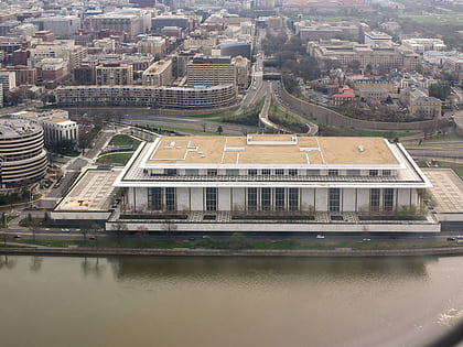
Nearby attractions include: Washington Harbour, Georgetown Park, John F. Kennedy Center for the Performing Arts, Jesuit Community Cemetery.
Frequently Asked Questions (FAQ)
Which popular attractions are close to Key Bridge?
Nearby attractions include Potomac Boat Club, Washington D.C. (4 min walk), Francis Scott Key Memorial, Washington D.C. (6 min walk), Georgetown Car Barn, Washington D.C. (6 min walk), Exorcist Steps, Washington D.C. (7 min walk).
How to get to Key Bridge by public transport?
The nearest stations to Key Bridge:
Bus
Metro
Bus
- Lee Hwy at N Nash St • Lines: 55 (7 min walk)
- FlixBus Rosslyn • Lines: 2601 (10 min walk)
Metro
- Rosslyn • Lines: Bl, Or, Sv (11 min walk)
- Foggy Bottom–GWU • Lines: Bl, Or, Sv (28 min walk)


