Hains Point, Washington D.C.
Map
Facts and practical information
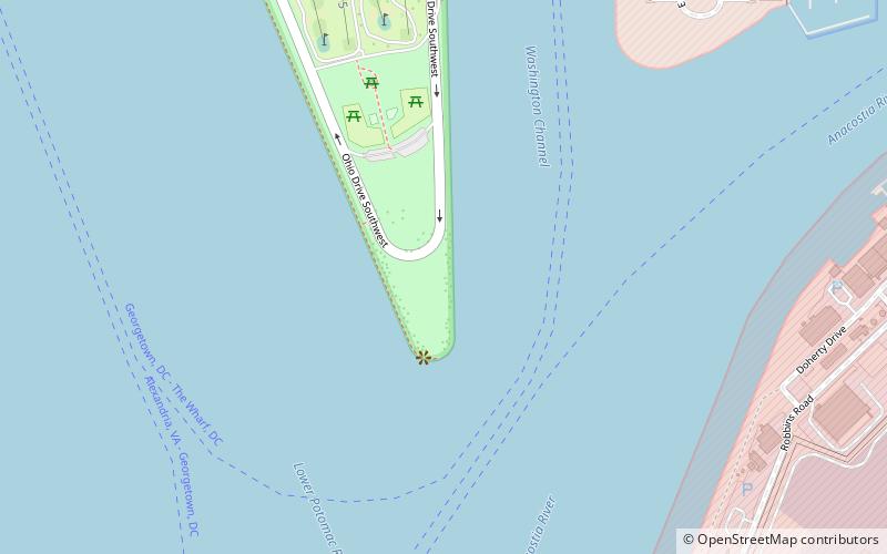
Hains Point is located at the southern tip of East Potomac Park between the main branch of the Potomac River and the Washington Channel in southwest Washington, D.C. The land on which the park is located is sometimes described as a peninsula but is actually an island: the Washington Channel connects with the Tidal Basin north of the park and the Jefferson Memorial. The island is artificial: it was built up from Potomac dredging material from 1880 to 1892. ()
Elevation: 0 ft a.s.l.Coordinates: 38°51'29"N, 77°1'19"W
Address
Ohio Drive SWSouthwest WashingtonWashington D.C. 20024
ContactAdd
Social media
Add
Getting there by public transportation
Public transportation stops near this location
- Bus
 Bus
Bus
- Calculate route4th St & N St SW 30 min walk
Day trips


Frequently Asked Questions (FAQ)
Which popular attractions are close to Hains Point?
Nearby attractions include Roosevelt Hall, Washington D.C. (12 min walk), James Creek Marina, Washington D.C. (16 min walk).
How to get to Hains Point by public transport?
The nearest stations to Hains Point:
Bus
Bus
- 4th St & N St SW • Lines: 74 (30 min walk)