Wheat Row, Washington D.C.

Facts and practical information
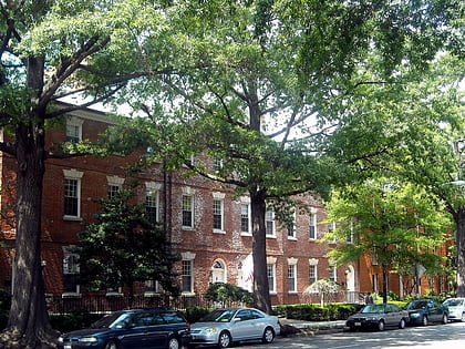
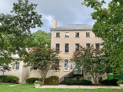
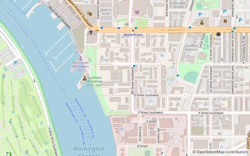
Wheat Row is a row of four Late Georgian style townhouses located at 1315, 1317, 1319, and 1321 4th Street SW in the Southwest Waterfront neighborhood of Washington, D.C., in the United States. Begun in 1794 and completed in 1795, the structures are some of the oldest residential homes in the District of Columbia. They served several uses in the early and mid 20th century, but were integrated into the Harbour Square apartment cooperative in 1963. Wheat Row was added to the National Register of Historic Places on July 23, 1973. ()
1313-1321 4th St SWSouthwest Washington (Southwest - Waterfront)Washington D.C.
Wheat Row – popular in the area (distance from the attraction)
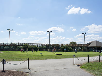
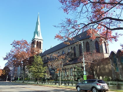
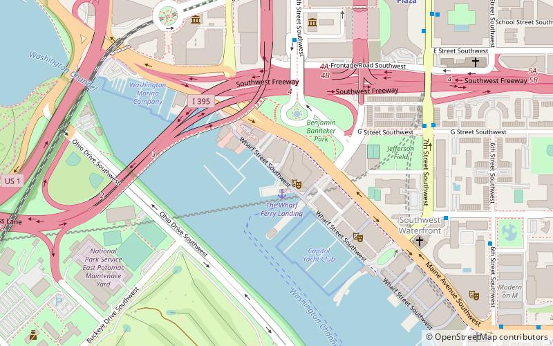
Nearby attractions include: Nationals Park, East Potomac Park Golf Course, St. Dominic Church, Maine Avenue Fish Market.
Frequently Asked Questions (FAQ)
Which popular attractions are close to Wheat Row?
How to get to Wheat Row by public transport?
Bus
- 4th St & N St SW • Lines: 74 (2 min walk)
- M St SE & 4th St SE • Lines: V4 (25 min walk)
Metro
- Waterfront • Lines: Gr (5 min walk)
- Navy Yard–Ballpark • Lines: Gr (18 min walk)
Train
- L'Enfant (21 min walk)
- Rayburn (27 min walk)
